Licensing & Career
Aircraft & Ownership
News & Media
Immerse yourself in a world of aviation insights: Explore in-depth articles, watch engaging videos, listen to enlightening podcasts, and join informative webinars.
Training & Safety
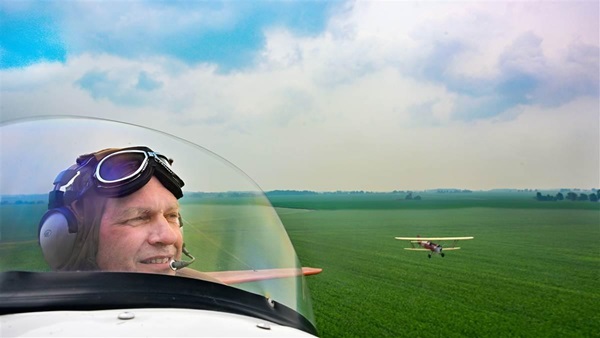
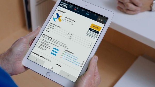
Embark on a journey of continuous learning: from prepping for checkrides, perfecting instrument approaches, to proficiency flights. Enhance your aviation skills here!
Plan a Trip
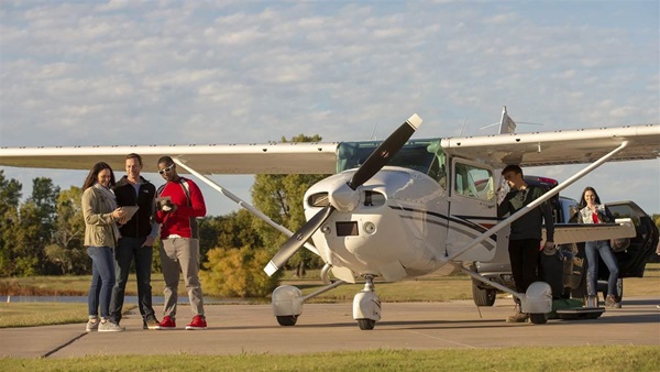
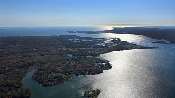
Embark on your next aviation adventure: Explore exciting destinations, read inspiring travel stories, plan your trip with our flight planner, and access exclusive discounts!
Events
Join the vibrant aviation community: Attend showcases, connect with fellow enthusiasts, participate in fly-ins, and immerse yourself in aviation events!
Advocacy
Join us in protecting your freedom to fly: Engage with state agencies, monitor airports, participate in lobbying efforts, and support general aviation!
Membership
Join our community for exclusive benefits: Access pilot information, participate in sweepstakes, enjoy legal & medical services, discounts, and enhance your aviation journey!
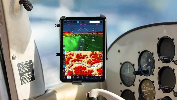
Detect local weather