Here comes autonomy
Who among us would not want to be the hero, the drone pilot who finds the lost girl in the woods? Sooner than you might think, computer programmers may become the real heroes of drone rescue.

In a few short years, drones have worked their way into a range of industries and applications, but effective adoption of the technology to support public safety is still at an early stage. Fire, police, specialized law enforcement, disaster assessment, and search-and-rescue groups have slowly begun to embrace unmanned aviation and use it to their advantage.
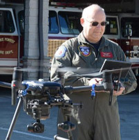
I have watched many highly trained emergency services specialists confront the need to develop an entirely new skill set as they step into the aviation world. In my experience as the chief pilot of the North Carolina Drone Academy training public safety pilots, I can feel the pain of a room full of state troopers studying for the Part 107 exam when they never had any interest in aviation before, much less FAA regulations.
These accidental aviators are one leg of a three-legged stool of drone development, and the legs of this stool are still banging into each other.
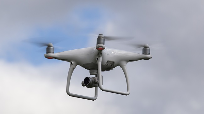
The technology itself (including the software and systems available today) is the second leg of the stool, and it’s a bit thin to support the load we’re putting on it. Many current drones remind me of the first model airplane I flew by wire instead of by radio control. It was basic. And for all the bells and whistles, most drones sold today are, once you cut through the hype, relatively simple flying cameras.
Mapping software makes those simple flying cameras effective for accident reconstruction, mapping construction sites, or other applications where time isn’t really a factor. But used in search and rescue, today’s mapping tools are very limited. Software can fly the drone between points on a grid, stop, take a picture, and move to the next point. You wind up with a lot of pictures that way, and it can take hours to stitch those images together. This is not ideal when someone is huddled under a tree getting hypothermic.
Automation is going to have to go far beyond where we have it today to be a sturdy third leg for the stool, and I think it will, sooner rather than later. Research conducted by by the Massachusetts Institute of Technology and NASA previewed the value that may come from giving way to the computer. That includes opening a whole range of operating areas—under trees, inside of buildings—where manual flight is not yet an option.
Mapping and survey flights today are nearly always flown over the trees and over obstacles, what I think of as "over" efforts. From mapmaking to package delivery, the drone always flies over things. MIT and NASA have been working to develop an "under" capability. And that's very exciting to this lowly search-and-rescue pilot.
It was easy when all of this started to imagine drones becoming all-stars of the search-and-rescue world, “air support” in miniature and inexpensive form. The reality is that many search-and-rescue unmanned aircraft system flights never locate the missing person. Our costly aircraft and cameras are too easily foiled by tree canopies and large search areas. The best long wave infrared camera in the world can't see through everything, though that has not stopped people from trying. To be fair, thermal cameras can be useful in certain circumstances, but we either need X-ray vision or an entirely new perspective to have a reasonably high chance of success.
MIT and NASA researchers equipped their drones with LIDAR to create 2-D scans of the area that are compiled into a 3-D virtual map, allowing the drones to “see” the forest and the trees, no need for GPS to fly the mission. What’s more, scans from each drone can be combined into a single, common picture of what’s under that canopy, a 3-D map that is automatically stitched together while we watch. People can be dispatched to check objects of interest on their own two feet while the map is still being created.
Time will tell if swarms of drones will be able to differentiate the heat signature of a sitting person from that of a goat. I hope so. Don't ask me how I know that's hard.
Flying below a dense tree canopy will give the search-and-rescue drones a significant advantage. Sensors will be much closer to targets of interest and give the rescue team a detailed view rather than a poorly defined heat signature far below.
“Essentially, we’re replacing humans with a fleet of drones to make the search part of the search-and-rescue process more efficient,” said MIT graduate student Yulun Tian, in a news release. “Producing a 3-D map is more reliable than simply attaching a camera to a drone and monitoring the video feed.”
I'm all for that if it helps to rescue more people. I’ve logged plenty of hours on public safety flights, and I certainly don't need to fly just to fly.
With access to sufficient wireless bandwidth, maps developed by swarms of unmanned aircraft flying low can be centralized and stitched together in near real time as the incident command staff watches. The aircraft in this scenario are less of an “aviation” asset, and more a part of the ground-based team.
That is really how we should think about them today.
Here at the Wake Forest Fire Department, we recently conducted a UAS public safety class that focused on this very subject. Experienced public safety pilots from various agencies learned how to integrate the UAS into missions while making safe flight decisions at the same time. Those decisions that a pilot must make go far beyond how to move thumb sticks. Understanding weather, airspace, and a host of hazards that are not always so obvious are not what computers are good at, at least not yet. A trained human pilot, on the other hand, is pretty good at keeping the big picture in perspective.
A defined incident command system that connects the UAS and the boots on the ground makes the drone a force multiplier, and the coming automation of UAS search-and-rescue flights should turn all-too-often frustrating efforts into successful rescue flights. Pilots will become automation specialists, more analogous to the incident commander than to any individual firefighter.
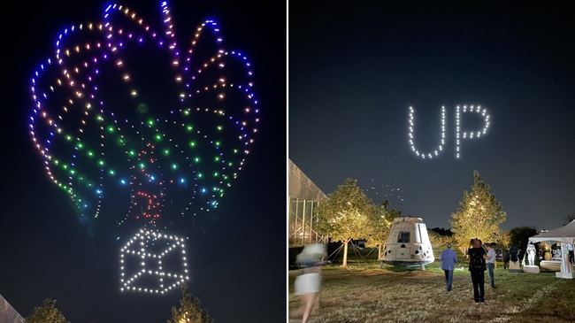
This is where drones are going, and you can see it as the systems are adapted to deliver food, medicine, blood, and law enforcement scene intelligence, such as what Cape is testing with the Chula Vista Police Department in California. Here in North Carolina, the Division of Aviation is neck-deep in research as part of its own FAA UAS Integration Pilot Program project, which intends to use UAS to autonomously fly medical supplies to disaster areas, and develop swarms of intercommunicating drones to rapidly cover an area to accomplish a specific mission.
Programming the software appropriately and selecting the best payload configurations to accomplish the mission at hand will, sooner or later, become the primary skills. Autonomous flight is approaching fast. The future of public safety UAS flight is exciting even if it will soon be a lot different than what people thought it was just a year ago.
Steve Rhode
Related Articles