Love ’em or hate ’em, they’re outta here
A few months ago I was touting the advantages of area forecasts: how they sum up the weather by regions, give a quick overview of the synoptics (fronts, lows, and highs) at work, provide cloud layer and cloud top information, and summarize any areas of precipitation—both in the current forecast period and for a six-hour outlook (see “Wx Watch: Different Takes,” May 2015 AOPA Pilot).
From on high, now comes the fateful word: Area forecasts will go away on December 31. In April, the FAA requested that the National Weather Service (NWS) do away with area forecasts. Then a joint-agency Aviation Weather Requirements Working Group backed up the request. Now it’s a done deal, like it or not.
I don’t like it. While area forecasts (FAs) do have some shortcomings—not mentioning low clouds and visibilities in instrument meteorological conditions is one (for that, you are referred to Airmets Sierra)—I think that more weather information is always better than less. And in many ways, FAs serve as a quick means of one-stop shopping for regional weather conditions. For every pilot who avoids or detests them, there are bound to be many more who check them first before delving into the details provided by METARs, TAFs, and other aviation weather products.
The FAA believes that graphical weather products will serve as acceptable substitutes for the FA. “The text-only nature of the product does not take advantage of significant digital and graphical advances made by the NWS in recent decades,” said Richard J. Heuwinkel, manager of the FAA’s NextGen Aviation Weather Division, in the April 30 request letter to the NWS. “The FA is no longer the best source of en route flight planning weather information….
“The majority of the weather elements contained in the FA are already available to pilots and briefers through existing products, including significant weather (SIGWX) charts, aviation forecast discussions, TAFs, and airmets,” Heuwinkel said.
Other FA opponents cite high meteorologist workload volume and a realignment of priorities as reasons for getting rid of area forecasts. Apparently, it’s too time-consuming for the meteorologists at the Aviation Weather Center (AWC) to create FAs. And the creation and posting of pireps and airmets are considered more critical briefing items.
So in the very near future, many of us will have to readjust our briefing routines to give more emphasis to graphic products. This will mean a greater focus on the AWC’s Aviation Digital Data Service (ADDS) website, particularly its graphic products. The FAA has asked that the ADDS website include cloud-top information derived from the North American Mesoscale forecast model. This presumably will serve as an adequate substitute for the FA’s cloud top information.
Perhaps the biggest impact of the FA’s demise affects those flying on IFR flight plans. Let’s say you want to know if your destination airport’s weather will be low enough to require filing an alternate airport. This isn’t a problem if that airport is covered by a TAF. But what if it isn’t? The traditional guidance was to use the nearest region’s area forecast to determine whether an alternate was required.
But next year, we’ll have to use the low-level significant weather “prog” charts, which are imprecise. They only delineate areas of IMC and marginal VMC weather, and they don’t give detailed ceiling or visibility values. So, if the destination airport’s approach minimums are high enough, “marginal” VMC may well require naming an alternate.
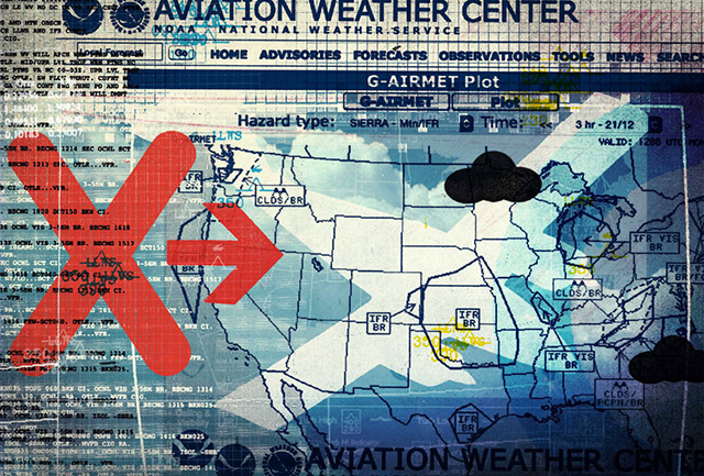
True, Airmets Sierra and G-airmets, which predict areas expected to have IMC, can also be useful for determining alternate requirements for the destination. But what about the weather at the alternate airport? Sorry, but airmets and G-airmets can’t tell you if the weather is forecast to meet the standard 600-and-2 or 800-and-2 minimums for airports with precision or nonprecision approaches, respectively—only that the weather will be “IMC.” So, as always, your named alternate airport must issue TAFs in order to be legal.
Of course, METARs and automated weather reporting capability also would be nice to have, and they may prove crucial in your decision-making. (Once you divert to an alternate airport, that airport’s standard published approach minimums apply.)
It will be interesting to see the effects of this change as pilots face an FA-less future come January. Will it be noticed at all? What could the legal implications be? Whatever the outcome, it’s likely to precipitate a transition period similar to the one that accompanied the switch from SAs (hourly surface observations) to METARs, way back in 1996. Remember that?
Email [email protected]
Illustration by Alex Williamson


