It’s a hot, humid afternoon. You estimate visibility at eight miles in haze as you plow westbound on a VFR cross-country.
These are less-than-ideal conditions compared to weather approved for your previous flights. However, the thinking was that it was time for you to take the next step by tackling conditions that are manageable under VFR, but closer to your assigned limitations than before.
“Just keep your eye on the weather,” your instructor counseled, reviewing sources of information available for the flight. If anything makes you uncomfortable, the CFI added, just turn around and come on home.
Well, there was one wrinkle that is making updating the weather less than straightforward. There are still many airports with no on-field weather reporting, and your destination is one of them. When researching its conditions and forecast, what you get is an amalgam of data from other places—some nearby, others, not so much. It’s your job to extract what’s relevant from the data dump, and plan accordingly.
For today’s flight, for example, the nearest surface report is an automated METAR from an airport 20 miles southwest. Its basic conditions are a benign 01004KT 10SM SCT060 BKN065 27/19 A2983. But there’s an unsettling item in the remarks: “LTG DSNT NW.”
Terminal aerodrome forecasts (TAFs) from nearby stations are from airports 33 miles southwest and 24 miles east, compromising usefulness. However, the area forecast has basically been holding true with its prediction of scattered to broken clouds at 4,000 feet with tops to 8,000 feet and “WDLY SCT –TSRA.”
The synopsis in the area forecast defined the boundary of a cold front at 18Z and forecast its movement southeast. Its present position northwest of your route suggests that reports and terminal forecasts from stations in that direction would help identify frontal passage and the associated conditions.
This would be a good time to check the HIWAS broadcast on a nearby vortac for any adverse conditions that may be developing. Then give Flight Service a call for a general weather update (and a look at the radar).
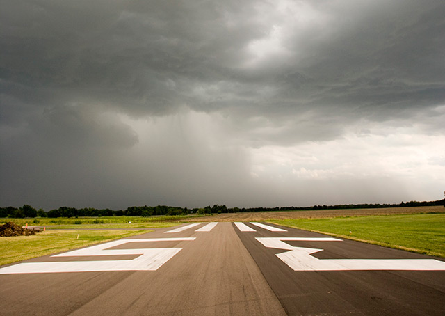
If you determine that you and a storm are heading for the same destination, go elsewhere. Don’t get caught in a race to the field; a storm that’s still miles away can cast a wide net of wind shear and other hazards.


