training tipsAn unfamiliar entry
As often happens when someone raises a question about traffic patterns, advice, commentary, and critique flowed in. It also reignited some perennial debates on the subject.
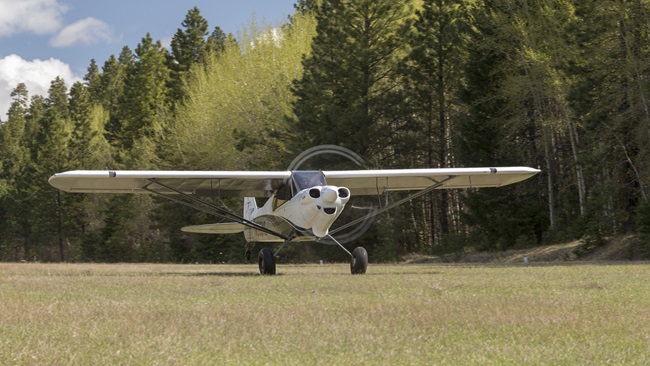
The focus of the dialog was to assess the legitimacy of an offbeat entry (not necessary to be described here). Another way to examine the issue would be to ask yourself if you are mentally prepared for a pattern encounter with an aircraft that shows up in the “wrong” place.
Don’t let your expectations of what another aircraft should be doing blind you to its actual position, altitude, or heading. If you have ever ridden as an observer on another student’s training flight, or with a pilot friend, you may have noticed that traffic patterns vary widely (pun intended), even among pilots who sat through the same ground school classes.
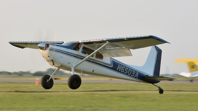
Flying your pattern by the book—that is, predictably—is a good start. Monitoring the common traffic advisory frequency long before takeoff or arrival in the pattern will help you visualize traffic, but allow for the presence of no-radio aircraft.
Broadcasting your intentions clearly—including stating your airport’s name, particularly on a shared CTAF—is another see-and-avoid best practice.
Use your landing light, day or night, as recommended under the pilot safety program Operation Lights On. That will help you be seen by a pattern interloper. Other collision-avoidance techniques are discussed in this Air Safety Institute safety advisor.
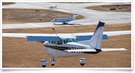
Check for any airport-specific procedures in effect, such as the right-hand traffic pattern for Runway 26, and other procedures prescribed for this California airport.
Take current flight conditions into account when scanning for traffic. Suppose there is a 20-knot breeze blowing down the runway. Would you fly as far downwind as on a calm day? That might lessen your chance of making the runway after an engine failure (as your flight instructor might promptly demonstrate).
There’s no end to the surprising “methods” you may hear about in the coffee shop or the pilot’s lounge. If the impact of that realization is to heighten your appreciation of the need for caution in the pattern, you will be forearmed, and alert. training productsStudent flight record for instrument and commercial pilots from ASAAviation Supplies & Academics has updated its Student Flight Record for instrument and commercial pilots to comply with the new Commercial Pilot Practical Test Standards for single and multiengine land and sea, as well as changes to the Instrument Pilot Practical Test Standards. The four-panel folder-style record can be used to track students enrolled in instrument, commercial, instrument flight instructor, or a combined instrument/commercial course. The record satisfies Part 61 and Part 141 requirements. Each record is $2.95. Records also are available for private pilot-airplane and private/commercial/instrument-helicopter. For more information, see the website or call 800/272-2359.
Note: Products listed have not been evaluated by ePilot editors unless otherwise noted. AOPA assumes no responsibility for products or services listed or for claims or actions by manufacturers or vendors. final examQuestion: On my sectional chart there is an oddly shaped blue box with blue dots running along the inside of the line. What does this represent?
Answer: The box you describe is a special conservation area. For example, it could be a wildlife refuge or a national park. Pilots flying above one of these areas, as stated in Chapter 7 Section 4 of the Aeronautical Information Manual , are asked to maintain a minimum altitude of 2,000 feet agl in order to limit aircraft noise and reduce potential hazards such as bird strikes. Some specially designated parks and wildlife areas like Arizona’s Grand Canyon National Park have further restrictions. To help decode all of the chart symbols, refer to the Aeronautical Chart Users Guide .
Got a question for our technical services staff? Email [email protected] or call the Pilot Information Center, 800/872-2672. Don’t forget the online archive of “Final Exam” questions and answers, searchable by keyword or topic. |
 A casual conversation between two pilots raised questions when one described a method of airport traffic pattern entry that was unfamiliar to the other. Efforts to look it up in standard FAA reference material failed. That’s when the curious pilot
 Related Articles