It’s been a long, bouncy flight in the clouds. Now, as two pilots in a vintage single near the destination, they delight to break out into sunlight, and gladly relinquish the IFR clearance that has brought them from the New England coast to within range of New York’s Albany International Airport.
Ragged ridges of the Berkshire Hills of western Massachusetts remain to be crossed. But after traversing 100 miles of front, going visual is a great relief.
Note to new instrument pilots: Even in the weather-prone Northeast, flights like this are the exception, not the rule—welcome news, perhaps, to newcomers who have confided disappointment at IFR encounters consisting of a brief climb or descent through clouds on trips flown mainly in visual conditions.
No one in that aircraft would have minded a meteorologically mundane mission. The left-seater, depleted from hand-flying in moderate turbulence and rain, was grateful to be spared an unfamiliar instrument approach in shifty winds.
But about those ridges: Straddling V2, they can redirect airflow strongly enough to be charted (on the sectional) as a soaring milieu. Now a weary instrument pilot must pick a way through, high enough to clear, and low enough to maintain VFR—while approaching the ridges from the downwind side, where any rotor-effect turbulence will make its presence felt.
Was IFR-for-VFR a good trade?
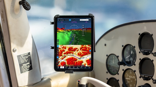
Before this phase of the flight, terrain was of no concern—a state of situational awareness underscored by the topographic blankness of IFR charts and approach plates (that show waterways and obstacles but not—except in mountainous areas—major landforms).
Although instrument pilots learn the obstacle clearances afforded by minimum enroute altitudes and protected areas, and memorize approach minimums and missed-approach routings, the underlying terrain features that are responsible for the numbers get no special emphasis.
If the day arrives for a new IFR pilot to take on the challenge of that apocryphal IFR flight imagined during training, be assured that after prolonged flight by instrument references, any chance to return to visual flying will be a strong temptation. But will it be the safe call?
The answer can only be found in two sources of information: the weather ahead, and the terrain below. So bring that VFR chart along, and have it within reach.


