IFR Fix: Make mine a MOCA
You are flying in the clouds at your route’s minimum en route altitude when you notice a thin skin of ice forming on an exposed part of your single-engine, non-ice-protected airplane.

This wasn’t supposed to happen—small comfort now. Depending on how far you have flown along your route when the forecast of VFR conditions and above-freezing temperatures at the minimum en route altitude falls apart, escape may become tricky, with cloud tops thousands of feet above you, and no guarantees up there.
Do you remember what it is?
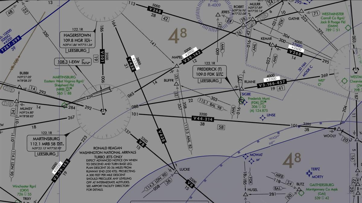
Until now, the minimum obstruction clearance altitude—the MOCA—may have seemed little more than one of those arcane facts you learned during ground study for your instrument rating, interesting but lacking in practical applications, except as a reminder of the presence of hidden obstacles below.
To refresh your recollection—better now than when coping with an icy flight scenario—MOCA is “the lowest published altitude in effect between radio fixes on VOR airways, off-airway routes, or route segments, which meets obstacle clearance requirements for the entire route segment and which ensures acceptable navigational signal coverage only within 25 statute (22 nautical) miles of a VOR.”
That short navigational range has long been the catch about MOCAs.
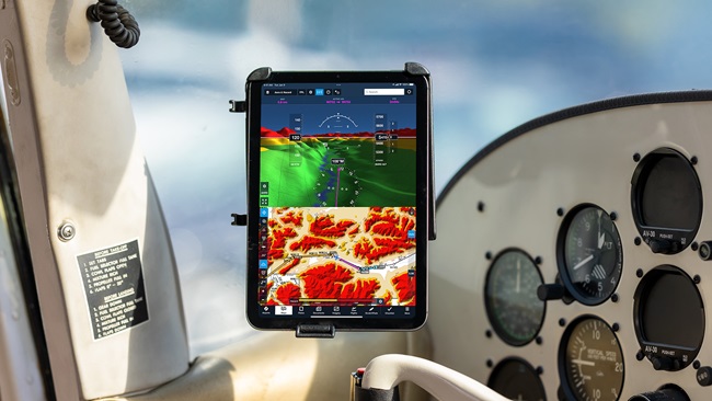
Starting on Sept. 25, however, MOCAs will become real players in IFR flight planning for aircraft with IFR-approved global satellite navigation systems.
This FAA notice amends FAA Order JO 7110.65, paragraph 4-5-6, “to allow IFR certified Global Navigation Satellite System (GNSS) equipped aircraft to be cleared below published Minimum En Route Altitudes (MEA).” Clearances would be “no lower than Minimum Obstruction Clearance Altitudes, Minimum IFR Altitudes, or Minimum Vectoring Altitudes, regardless of radar coverage.”
According to Rune Duke, AOPA director of airspace and air traffic, the change, advanced by the National Air Traffic Controllers Association, “would apply to all applicable airways, rather than being limited to those published with GNSS MEA minimums,” and would “increase capacity and provide controllers with greater flexibility to accommodate pilot requests.”
For pilots of suitably equipped aircraft, the MOCA alternative could provide downward escape from an icy MEA without having to declare an emergency, as has sometimes been a necessary option, based on some harrowing reports filed with the Aviation Safety Reporting System to explain below-MEA descents.
Discuss how this topic might affect your IFR flying at AOPAHangar.com.


