Four fabulous flightseeing tours
Passenger-pleasers over New York and California
From glittering cities to powerful waterfalls, from sea to shining sea, here are four air tours every pilot should try.


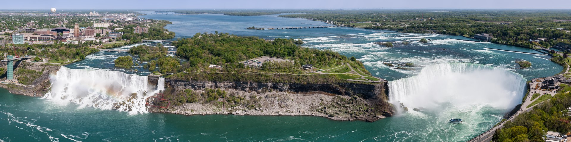
Niagara Falls Loop: To flightsee over the mighty Niagara Falls, study the FAA’s special air traffic rules, FAR Part 93.71, created to organize the area’s heavy flightseeing traffic. Monitor 122.05 MHz and then broadcast your position and intentions prior to entering the pattern. Remain above 3,500 feet msl west of a line from the Whirlpool Rapids Bridge to the Niagara River Inlet, to a line between the International Control Dam and the U.S./Canadian Border. Fly a clockwise pattern, remain south of Rainbow Bridge, use the Niagara Falls International Airport altimeter setting, don’t exceed 130 knots, and anticipate heavy congestion.
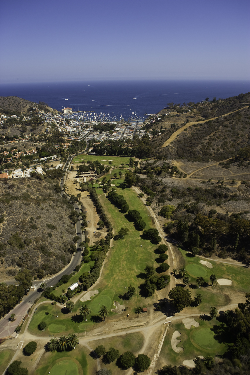
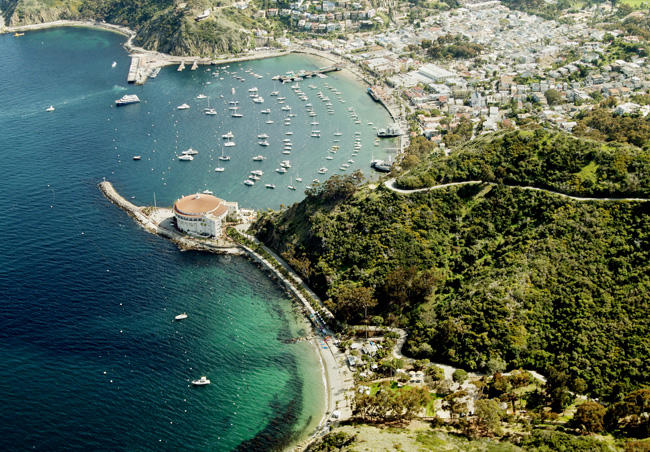
LAX Special Flight Rules Area: Get a bird’s-eye view of one of the world’s busiest airports by flying the LAX SFRA (study the LA TAC and have it with you). Contact Santa Monica Tower (or Torrance if you’re coming up from the south) and tell them you’ll be transitioning through the LA SFRA. They’ll usually tell you when to change frequencies and then switch to 128.55 MHz and squawk 1201. Fly on the 132-degree radial of the SMO VOR (110.8 MHz) southeast-bound at 3,500 feet msl (northwesterly traffic must be at 4,500 feet). Make position reports as you enter the LA SFRA, midfield over LAX, and as you exit the LA SFRA. LAX Tower will not answer your position reports; however, this frequency is used for the exchange of information between pilots using the LA SFRA. Bonus: Make the 26-mile overwater flight to Catalina for a bison burger at the “Airport in the Sky,” departing the coastline over the Palos Verdes Peninsula. (Watch a video of flying to Catalina.) Or, fly over the peninsula’s coastline, port of San Pedro, Queen Mary, and then follow the L.A. River north below 2,000 feet msl to view downtown, Dodger Stadium, the Griffith Park Observatory, and the Hollywood sign.
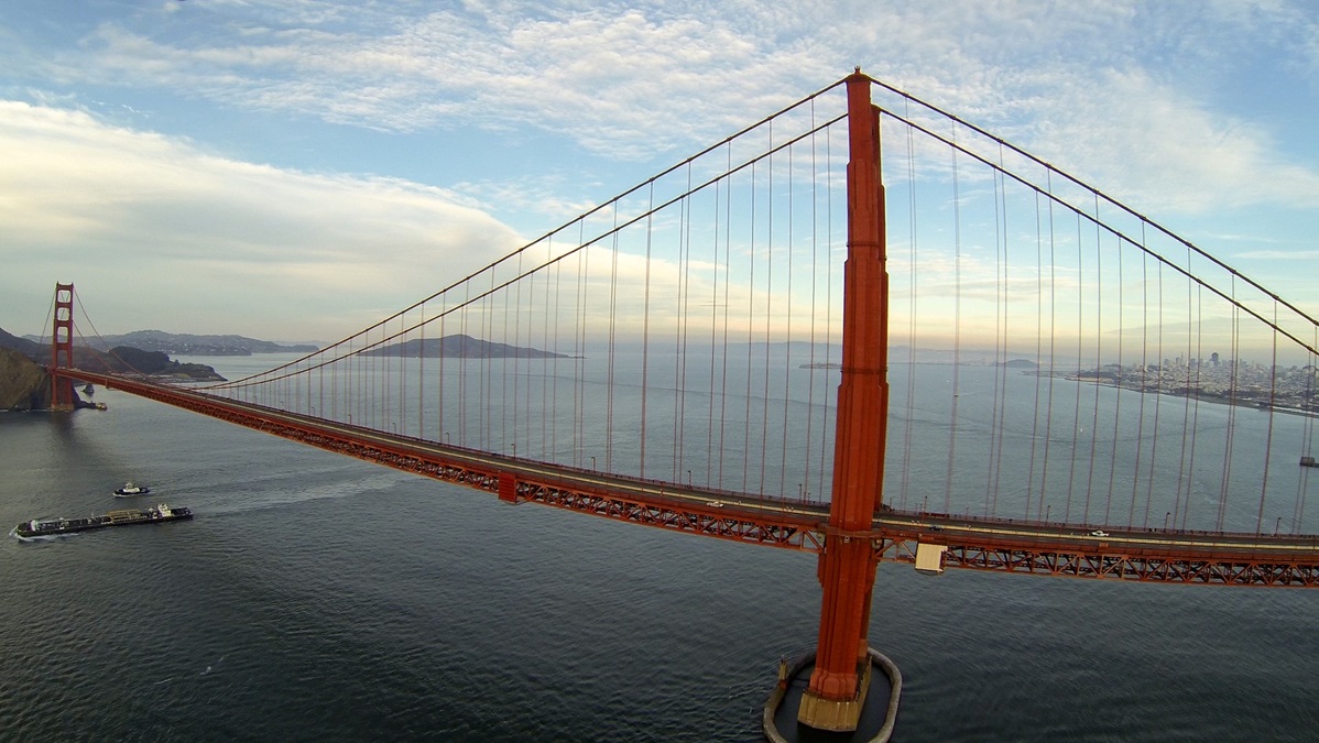
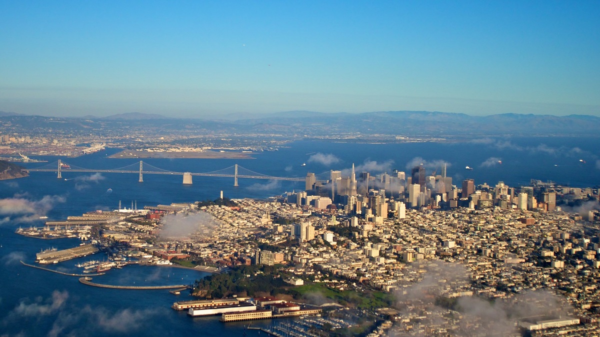
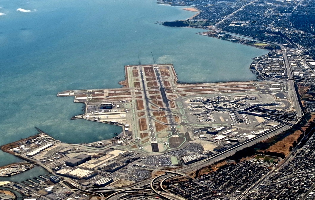
San Francisco Bay Tour: In about an hour, you can fly by landmarks like the Golden Gate Bridge, Bay Bridge, Alcatraz, Treasure Island, downtown San Francisco, San Francisco International airport, several working lighthouses, and more. Study the SF TAC and have it with you. Some routes are shown on the back of the TAC, but a Bay Tour Map is also helpful. Stay out of the Class B unless cleared in. From the south, if east of the Santa Cruz Mountains, contact San Francisco Tower and ask for a squawk code for a Bay Tour. You’ll follow the Bayshore Freeway north past San Francisco International to downtown. If San Francisco Tower doesn’t want to give you a transition through the Class B, start your tour offshore, heading north toward Half Moon Bay. Call NorCal Approach to request a squawk code for your Bay Tour. Head north at your assigned altitude and enjoy the rugged coastline until you see the Golden Gate Bridge. Fly west of the bridge, turn east north of the bridge, and then check out Alcatraz. Listen up and comply with ATC, keep your eyes peeled, and eventually go back the way you came or continue over Oakland and back down toward San Jose. A Bay Tour, whether it begins inland or offshore, is not an official FAA route but something generally understood by San Francisco International and NorCal controllers, who do their best to accommodate aerial sight-seers. Have fun!
Share your favorite destination in the AOPA Hangar: Places to fly, things to do, where to eat!