Drone pilots are not special, but airspace can be
Various government agencies have asked AOPA to help spread the word about special-use airspace, including temporary flight restrictions (TFRs), that drone pilots have violated with increasing regularity. AOPA also is working with the FAA and other stakeholders to make important information (including TFR times and locations) more easily accessible to pilots.

Rune Duke, AOPA senior director of government affairs for airspace, air traffic, and aviation security, has fielded calls and emails from various federal agencies regarding drones violating TFRs established to protect airshows, wildland firefighting operations, and VIP movements, to name the more prominent (and potentially dangerous) examples. Duke said the increasing number of unmanned operations has increased a sense of urgency about educating pilots, along with others involved in the process of designating and enforcing TFRs and other types of special-use airspace.
AOPA co-chaired an industry-led effort in 2016 that led to 54 consensus recommendations from a committee composed of pilots, aviation and automation experts, and other stakeholders. The report (on page 49) included three recommendations related to unmanned aircraft operations, specifically that the FAA should conduct additional pilot education and outreach; that law enforcement organizations should be provided with a single online resource and guidance on responding to violations; and that the FAA should encourage personnel involved in the creation of TFRs to proactively engage industry.
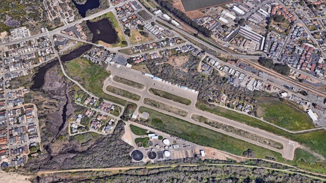
The FAA continues to review the recommendations, and several improvements have been made in recent years to address systemic shortcomings. However, AOPA continues to push the FAA as errors continue to occur that threaten pilot compliance. In a recent example, the FAA issued a TFR restricting unmanned aircraft system operations near the AT&T Stadium in Arlington, Texas, where the NFL draft was held April 26 through 28. A UAS-only TFR is unusual and very rare. The FAA’s own TFR website did not display a graphic of this restriction, and no shapefile information was provided to flight information vendors so that they could display the restriction on their websites and apps. The result was that the TFR did not appear where drone pilots normally check.
“We want drone operators to have the tools and information so they can comply with any TFR,” said Duke. “It is important for security and safety that we all check for TFRs thoroughly before flying. We will continue to push the FAA to implement the RTCA recommendations as they are very important for manned and unmanned aircraft operators.”
Third-party apps such as AirMap provide unmanned aircraft pilots with real-time information about TFRs, as well as military operations areas and other types of special-use airspace, but are only as good as the information provided by the FAA. These applications do not necessarily show everything a pilot might need to know, one example being a military training route: Locating a military training route (airspace where military aircraft may travel at low altitude, and potentially high speed) requires a deeper look at airspace and access to the FAA’s special-use airspace website. Electronic flight bag applications made for general aviation pilots (ForeFlight is the most popular of these, though there are several others that provide the same basic functions) can provide accurate and accessible briefings for any pilot, provided that the device being used has accurate position information and access to a data network. (Pilot and AOPA member Steve Rhode detailed how this can affect unmanned operations for AOPA Drone Pilot in February.)
Passing the written exam and obtaining a remote pilot certificate (required for commercial drone operations under Part 107) requires familiarity with airspace and aeronautical charts, which are also available online via SkyVector, another resource worth checking before flight. Those charts do get updated (you can even overlay weather radar and other “live” information), though remote pilots who need to fly in controlled airspace will need to use UAS-specific products and tools (such as AirMap) to obtain authorization through the Low Altitude Authorization and Notification Capability program now being activated at airports around the country.
Duke said vendors seeking to be added to the list of those designated by the FAA to accept LAANC authorizations have contacted AOPA for advice and assistance, which the association has been happy to provide in the interest of safe integration and supporting the aviation community as a whole.