The aircraft of Operation IceBridge
Maybe you saw it on the news: In September a sprawling chunk of ice about the size of lower Manhattan broke off a glacier in Greenland.

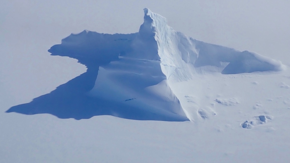
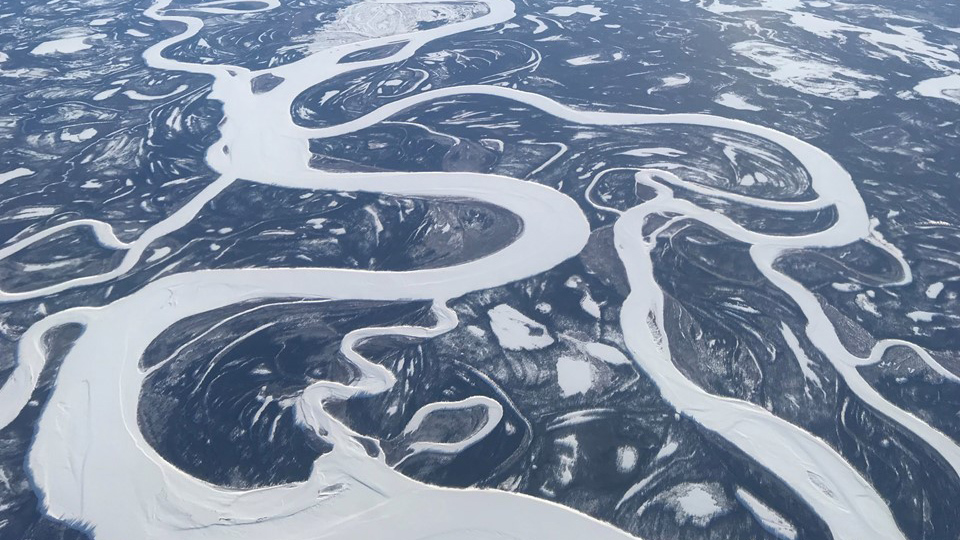


Scientists call the events that launch icebergs into the oceans “calving” occurrences, and the events are monitored with great interest for what they suggest about Earth’s climate.
Aircraft play an important role in the research. A NASA program, Operation IceBridge, employs a variety of aircraft converted into flying laboratories to gather the data, and the program is NASA’s “longest running aerial survey of polar ice.”
IceBridge is also the largest airborne polar ice survey ever flown, helping bridge a gap between a satellite survey that ended in 2010 and another that began in September, and now coordinating its work with the new satellite program’s operations.
“Using a fleet of research aircraft, NASA’s Operation IceBridge images Earth's polar ice to better understand connections between polar regions and the global climate system. IceBridge studies annual changes in thickness of sea ice, glaciers and ice sheets,” says the program’s page on the NASA website.
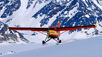
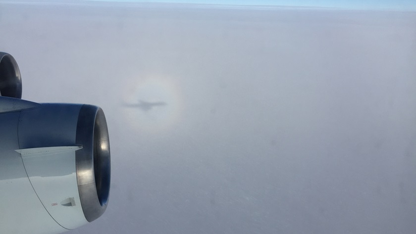
The two workhorses of the Operation IceBridge air effort are a Douglas DC–8 four-engine jet and a Lockheed P–3B Orion that carry research instruments aloft. They have been augmented by a variety of general aviation aircraft including a Beechcraft B200 King Air from the Langley Research Center. In Alaska, a turboprop-converted de Havilland DHC–3 Otter owned by Paul Claus of Alaska’s Ultima Thule Lodge, and a Cessna 180 owned by scientist Christopher Larson of the Geophysical Institute of the University of Alaska—Fairbanks, fly missions for airborne mapping of glacier changes. The Otter and the Cessna are both equipped with large camera ports.
The 1982 King Air joined Operation IceBridge for the arctic campaign of 2011. It is capable of 4.5-hour flights, and from the outside “it looks like a small plane that can carry a dozen passengers but inside it is a flying science platform with room for instruments and a member of the instrument team,” NASA says.

The arctic campaign of April 2011 marked the King Air's first participation in the IceBridge mission. It carried NASA’s Land, Vegetation and Ice Sensor out of Kangerlussuaq, Greenland, to the high altitudes required by the instrument. According to the NASA spec sheet for the aircraft, it can fly to an altitude of 28,000 feet, has a maximum payload of 2,500 pounds, and cruises at 259 knots.
In any branch of science, field research sometimes turns up surprising discoveries. In 2015, researchers studying a map of topography beneath Greenland’s ice based largely on Operation IceBridge’s ice-penetrating radar “noticed an enormous, previously unexamined circular depression under Hiawatha Glacier.” The depression under a half-mile of ice was determined to be a large meteorite impact crater—"one of the 25 largest impact craters on Earth, measuring roughly 1,000 feet deep and more than 19 miles in diameter, an area slightly larger than that inside Washington’s Capital Beltway.” The discovery is chronicled in this NASA video.
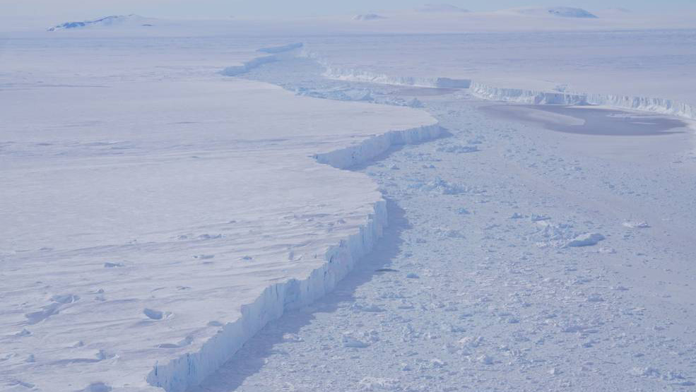
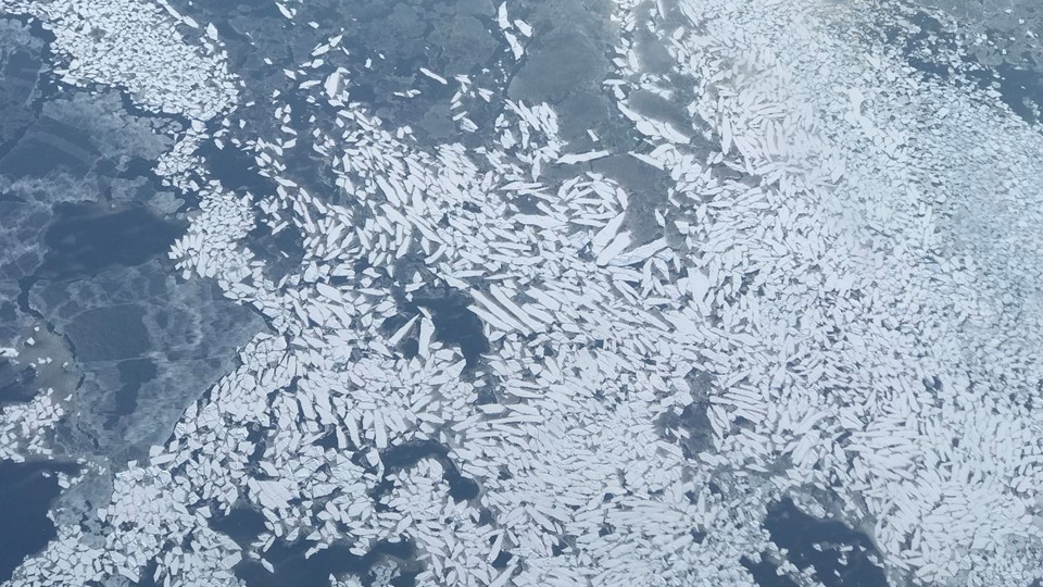
Operation IceBridge continues to participate in important discoveries. In October an iceberg three times the size of Manhattan broke off Antarctica’s rapidly melting Pine Island Glacier. Designated B-46, the iceberg broke loose only about a month after a crack marking the location of its impending separation from the glacier was observed. (A previous separation of an iceberg from the glacier, in 2017, took a year after its rift formed.) Scientists aboard NASA’s DC–8, flying a predetermined data-collecting pattern, spotted B-46 for the first time on Nov. 7.
Although such calvings mark a natural process, Operation IceBridge said, a key focus of current study seeks an answer to the question of whether evidence suggests the rate of such events is changing.
“Pine Island has now calved major icebergs in 2013, 2015, 2017, and 2018. Prior to that stretch, the glacier was experiencing major calving events about every six years,” the program said.