AOPA app adds Airport and Destinations Directory
Airport data downloadable for use when flying
Whether you’re messing around on your smartphone or tablet looking for cool restaurants and outdoor activities to fly to, or if you’re on a cross-country and want to divert for a bite or stretch your legs, you can get all of that information on the AOPA app.


Restaurant options, an activity finder, airport data, FBO information, and color-coded METARs and TAFs are some of the latest features now at your fingertips in the AOPA app. The August 28 release brings AOPA’s Airport and Destinations Directory into the app.
“We know pilots are always looking for new places to fly to go out to eat or explore, and we wanted to provide all the information you would need to make that happen, from ideas for restaurants and activities to the critical data such as runway lengths, taxi diagrams, and textual weather,” said Eric Rush, AOPA director of IT product development.
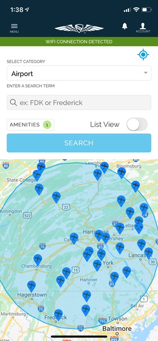
Through the AOPA app, you’ll be able to search airports by identifier or city. The airport data includes complete FAA information, such as frequencies, runway information, pattern altitudes, operations, remarks, instrument procedures, airport diagrams, and chart supplements, plus sectional and satellite views of the airport and thumbnail images of the runways.
Once you’ve settled on an airport, you can check the FBOs, along with their fees and fuel prices, to decide where you want to refuel or conduct business.
Flying clubs are listed as well as local restaurants, lodging, and activities. If an activity you are interested in isn’t listed for that airport, check the Destination/Activity Finder, which integrates with Google Places, to search for nearby activities.
As with the online directory, you can tag your home and favorite airports, and read or submit ratings, reviews, and photos.
“We really wanted to give pilots as much data as possible,” Rush said. “Now, pilots can use the app to decide not only where they want to go and what they want to do, but where they can find the cheapest fuel and best service.”
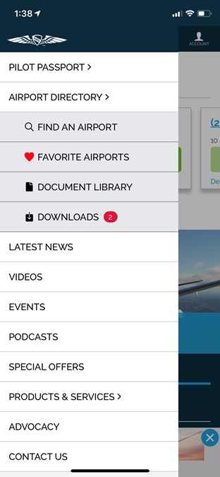
Pilots can also use the app’s Pilot Passport feature to take part in a fun “gamification” challenge each month. Earn points for checking in at airports and events, posting comments, or sharing a photo through the app. Top users can win prizes.
The AOPA app is free to download and is available for iOS and Android devices.

Alyssa J. Cobb
Related Articles