TFRs
Temporary flight restrictions (TFRs) have become more common in the post-9/11 heightened security environment, and often pop up on very short notice. Pilots should check notams before each flight by contacting flight service and/or using the FAA DUAT System program.
Stay informed with this AOPA Member Benefit!
Are you getting AOPAs presidential TFR alerts delivered to your inbox? Stay up-to-date with the information you need in order to plan your flights. To ensure you're not missing out on this important benefit of AOPA Membership, go to "My Account", click on "Manage Preferences" and opt in for the Airspace TFR Alerts. Its that easy!
 TFR information
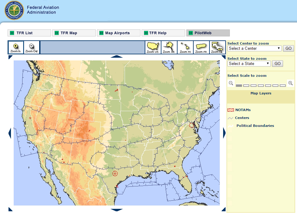
Pilots should obtain up-to-date information about TFRs from the FAA or flight service. Here are some quick links to official sources of TFR information.
Educational airspace resources
Brush up on your knowledge of airspace, including TFRs, download a kneeboard guide for intercept procedures, learn about requirements for flying through the outer ring of some TFRs, and see what it’s like to fly into the Washington, D.C., Flight Restricted Zone.
- Washington, D.C., Metropolitan Area Special Flight Rules Area and D.C. Flight Restricted Zone online course : This course satisfies the training requirement to fly VFR within 60 nautical miles of the DCA VOR/DME.
- Filing Washington, D.C., Flight Restricted Zone/"DC-3" Flight Plans
- Know Before You Go online course
- See and Avoid MACA Pamphlet
- FAA TFR list
- UAS Flight Restriction Information
- Sporting Event TFR Venues
- Leidos flight service
- Tips for temporary flight restriction and special use airspace
- Clarification of flight training during a standard VIP TFR
- NORAD/FAA intercept procedures