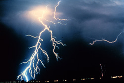
 Lightning photo credit: NOAA
The next GOES satellite (dubbed GOES R, and set for launch in 2015) may be capable of predicting the onset of convection and lightning. Researchers are now testing several of the current GOES satellites’ eight infrared channels in hopes of developing warning algorithms.
GOES R is being designed to automatically send lightning strike data to air traffic control, where the information would be stored and used for warning airports of impending lightning strikes.
Researchers under Professor John R. Mecikalski of the University of Alabama-Huntsville are working on a program they hope will give 10 to 65 minutes’ worth of lead time before convective storms begin. Their techniques involve correlating certain infrared emissions with the cloud-top freezing processes already known to begin the chain of events that culminate with lightning.
Tests involving thunderstorms in Central America have already proven that the team’s forecasting techniques can yield predictions of lightning as much as one hour before the first stroke is recorded. Such satellite-based lightning forecasting, once perfected, would bring about earlier convective forecasts, more specific locations of forecast storm cells, and a more accurate ranking of storm severity.

Related Articles


