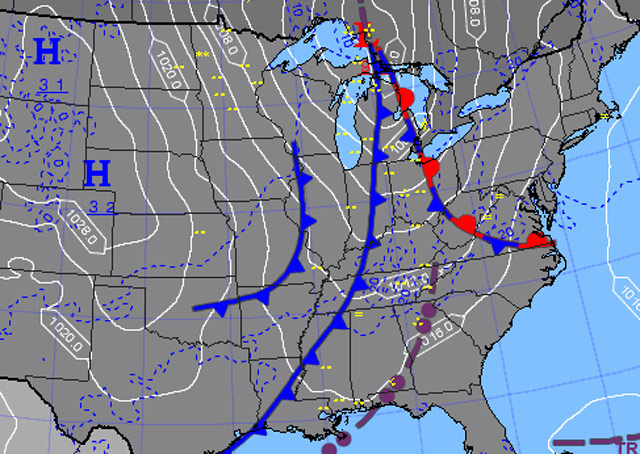
A chilly morning has given way to warm sunshine for an afternoon session of simulated instrument flight. Later, clear skies will give way in stages to a 400-foot overcast by tomorrow morning as a strong frontal system sweeps eastward into New England. The first notable deterioration—scattered clouds at 2,000 feet—may arrive before sundown, and it will be steadily downhill from there.
No problem, you’re briefed and ready. Bring on the preflight grilling that now is sure to begin.
Oh, no, your instructor has his new tablet out, and it looks like he has learned how to use it. See how deftly he moves between various weather-data screens! (This is an unnerving development.)
Now, however, he puts the gizmo aside as you spread out your briefing material on the table and commence your practiced recital of the weather. You describe the current and forecast conditions, taking pains to note that despite the early-fall warmth, you made sure to check the freezing level, which, according to an airmet, remains acceptably high: "FRZLVL RANGING FROM 085-160 ACRS AREA, 120 ALG 40W HNN-50NW ERI-70WSW YYZ."
"Point out that 12,000-foot freezing level area on this map."
Uh-oh, HNN isn’t coming up in the airport directory listings. Then you recall that other location identifiers are also used in airmets, such as VORs and “well known geographic areas,” according to the Aeronautical Information Manual. He waits while you do some hasty research, and determine that HNN is the Henderson, West Virginia, VOR.
Now the AIM saves the day: Figure 7-1-3, the Inflight Advisory Plotting Chart, helps you identify YYZ as weather station Toronto-Pearson in Canada. It’s northeast of ERI—the only easy one in the freezing level description.
Speaking of ice, now the CFII has a multiple-choice question for you—a review item from the instrument rating knowledge test.
"If you encounter in-flight icing and ATC asks you to report your conditions, what are the official reportable icing values that you are expected to use?
A) Light, moderate, severe, extreme.
B) Trace, light, moderate, severe.
C) Few, light, moderate, severe."
Well, answer A gives descriptions of turbulence, not ice. The descriptions in answer B include the appropriate value "trace" (when ice becomes perceptible). Answer C, with the nonsensical value "few," is designed to distract.
"The answer is B," you say, hopeful for some sign of CFII approval.
"Let's fly," he says.