There’s a line of embedded thunderstorms 30 nautical miles wide, moving from 240 degrees at 30 knots, with tops to Flight Level 300.
How does a pilot who is about to depart into the affected area find out, in such attention-getting detail, what kind of nasty weather is about to move across the route of flight?
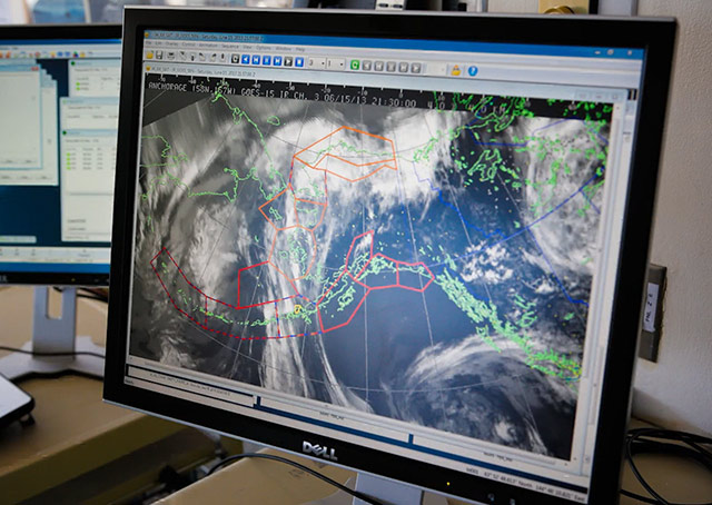
A last-minute check of the weather, or monitoring a hazardous weather broadcast on a VOR or the Flight Information Service-Broadcast (FIS-B) system available via the ADS-B Services network, has turned up a newly issued convective sigmet. It advises of the dangerously bad weather that has developed: “LINE EMBD TS 30 NM WIDE MOV FROM 24030KT. TOPS TO FL300.”
For much of the country that kind of weather fades from memory during the cold months (although the soon-to-end El Niño-influenced winter of 2015-2016 is something of an exception). With spring on the doorstep, convective sigmets are likely to return to many regions’ weather forecasts with increasing frequency.
What does the contraction sigmet stand for?
To review, it’s short for significant meteorological information. According to the Aeronautical Information Manual, a convective sigmet (WST) is issued in the coterminous U.S. for any of the following: (a) Severe thunderstorm due to: (1) Surface winds greater than or equal to 50 knots. (2) Hail at the surface greater than or equal to 3/4 inches in diameter. (3) Tornadoes. (b) Embedded thunderstorms. (c) A line of thunderstorms. (d) Thunderstorms producing precipitation greater than or equal to heavy precipitation affecting 40 percent or more of an area at least 3,000 square miles.
Remember that a convective sigmet “implies severe or greater turbulence, severe icing, and low−level wind shear. A convective SIGMET may be issued for any convective situation that the forecaster feels is hazardous to all categories of aircraft.”
Convective sigmets are one of three varieties of inflight weather advisories along with sigmets and airmets—all of which use “either VORs, airports, or well−known geographic areas to describe the hazardous weather areas.”
If some time has passed since you have flown, note that checking weather while airborne calls for a different approach now that the FAA has discontinued using the dedicated frequency 122.0 MHz for the Enroute Flight Advisory Service (Flight Watch). Services are still available, but pilots should request them on charted Flight Service frequencies appropriate for the area in which they are flying.


