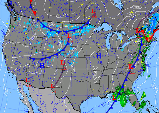
It’s a dreary predawn in the Northeast as a spring storm system that has lashed the South and Midwest arrives on the doorstep. Fortunately you have the day off from work; otherwise you would be outside scraping a layer of ice off your car’s windshield—the product of a freezing drizzle that began falling overnight.
For now, icy weather conditions cast doubt on prospects for a local IFR practice flight. The local airport’s METAR says, “02005KT 1 1/4SM -FZDZ BR OVC004 M05/M06 A2991 RMK AO2.”
The terminal forecast offers some hope in suggesting that the approaching warm front will bring surface temperatures above freezing by 1100Z: “FM250800 09007KT 3SM -FZDZSN OVC010 FM251000 10007KT 3SM -FZRA OVC003 FM251100 11006KT 2SM -RA BR OVC003 FM251700 17004KT 1SM -RA BR OVC003 FM252100 25005KT 1SM BR OVC008.”
However, with that plus come some significant minuses, including multiple cloud layers and low IFR conditions persisting late into the day.
Quite a juicy picture to regard as an exercise in seeing how a localized slice of weather data reflects a larger picture. To arrive at “go,” a pilot must match up elements of the two.
Take the temperature/dew point information in the surface observation: It reports below-freezing temperatures (the “M” in “M05/M06” signifies “minus” temperatures in degrees Celsius) and shows a spread of only one degree. That, taken with the light wind, explains the mist condition and the mile-and-a-quarter visibility.
Obviously the air has to be warmer aloft to produce the light freezing drizzle that is coating your car and any aircraft that aren’t tucked in a hangar. You can spot the implied temperature inversion in the winds aloft forecast, valid through 1500Z. It is predicting 5 degrees Celsius at 6,000 feet, with winds “3251.” At 9,000 feet you reach the forecast 0 degrees Celsius level—and note that that too is warmer than the current surface temperature. Even at 3,000 feet, winds are ripping along at “2140”—evidence of the system’s strength.
When does it all clear out? There’s no hint in the terminal forecast, which carries the low overcast and visibility, and mist to the end of the forecast period.
Some indication may lurk in the area forecast (you will recall that area forecasts will be replaced soon by graphics-based substitutes), which has conditions improving to MVFR by 2100Z, with a cold front across the area by 0300Z.
Check weather again later. Check often, and if you decide it’s a go, check again.

Related Articles


