More ways than one
A flight can take many paths

The desire to plan a flight in a straight line is strong. It is the shortest distance, and usually that means the fastest. It’s also the easiest. A straight line on the chart, a Direct To in the GPS, and you’re done. But there are some flights where a straight line isn’t as safe—or as enjoyable. Planning a flight is about much more than getting out a ruler and drawing a line. You must evaluate the risks of your route and do all that’s reasonable to reduce those risks.
 Terrain
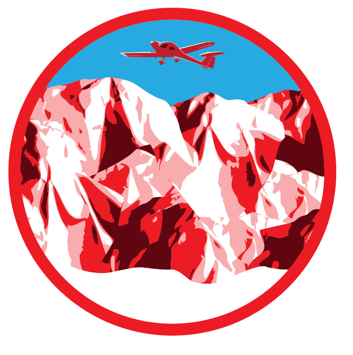
Risk of hitting the ground is the most obvious reason you wouldn’t want to plan a direct flight. East Coast pilots don’t have to tackle this issue very often, but if you fly out West, rarely is it safe to go straight from one point to the next. Yet people do it routinely, and they quickly find out where the terrain rises faster than their airplane can climb. Many mountains in the western United States are too high for your average general aviation airplane to cross. Pilots manage to get where they want to go through carefully plotting a route that takes advantage of mountain passes.
Some of these are charted with the pass names, while others either must be gleaned from the sectional or acquired through talking to local pilots. One of the most famous in California is the Banning Pass. A direct route from Palm Springs International to John Wayne Orange County would take you right over 10,834-foot San Jacinto Peak. Farther north and you’d be crossing over San Gorgonio Mountain at 11,499 feet. But between them lies Banning Pass, at only 2,600 feet.
Not every example is so extreme. There are areas of the Appalachian Mountains that call for the same technique, and some towers rise so high even in the flatlands of Florida that you’d want to plan to fly around them.
 Safety
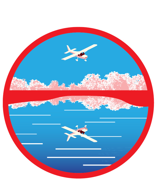
It may seem obvious that you wouldn’t want to fly directly at an 11,000-foot mountain. There are other, more subtle situations where going direct may not make sense. It boils down to the potential hazards below you. Whether or not to fly over Lake Michigan from the Northeast on the way to Oshkosh for EAA AirVenture remains a perennial debate. At more than 50 miles wide, the overwater distance can be farther than going to the Bahamas from the coast of Florida. Many people say they would never fly over the lake, instead electing to go around—most likely past Chicago at low altitude. The alternative viewpoint says that during the summer the lake can be warmer; there is plenty of boat traffic; and if you get up high, the time when you are out of gliding distance from land is relatively short. And there are ways to mitigate the risk—by flying north into Michigan you can lessen the overwater distance.
Many people who would never go over Lake Michigan may not think twice about flying over sparsely populated parts of West Virginia or Wyoming, where a rescue from a forced landing could take days. Risk isn’t always black and white. To some, a forced landing always will be better than ditching, even if it’s in a blanket of forest. It’s up to the pilot to determine what those risks are, what he or she finds unacceptable, and how to mitigate them.
Another example is the length of exposure over hostile terrain. Flying the spine of the Appalachian Mountains is often the fastest way from a point in the Northeast to one in Tennessee or Alabama. But doing so leaves you exposed to forested mountains for long periods. Why not follow a highway and cut across the mountains instead?
The safety of many routes can be improved with minor changes.
 Airspace
Which is a better tactic, to fly direct and deal with the hassles of contacting numerous controlling agencies to find the status of special-use airspace, skydiving areas, and so on? Or simply fly clear of those areas? Bypassing special-use airspace, busy terminal areas, smaller Class D airports, and all other types of controlled airspace usually adds only a few minutes to a trip, and it makes following the regulations infinitely easier. And it’s never a bad idea to avoid special-use airspace. Even though we’re allowed to fly through alert areas and military operations areas (MOAs), the threat of high-speed jet traffic or a large number of training airplanes could make the risk high and the payoff quite low.
 Weather
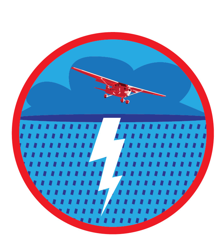
Pilots love to tell stories about threading through thunderstorms and climbing out of icing. It’s as if we earn points for coming up with the scariest “there I was” story. Here’s a secret: Good pilots avoid weather whenever possible. They are strategic in their approach, not tactical.
Let’s say you’re flying from Kansas to Texas, and scattered thunderstorms moving generally eastbound are more or less surrounding your route. You could make your way through them by using in-cockpit weather and keeping your eyes peeled for build-ups. Or you could fly west around the back of the storms in clear air and watch them from afar.
Pilots are reluctant to take this approach, probably because we think it adds too much time to the flight. But if you go into flight-planning software and move a route around for a long trip, you’ll find that big deviations such as this often add only a few minutes of flight time. If you’re willing to fly longer distances, most weather can be avoided entirely.
 Comfort
Flying should be fun and relatively free of stress. As the pilot in command it’s your responsibility to make sure people arrive safe and happy. Fulfilling that burden may mean deviating from a straight line. Avoiding turbulence can be a difficult goal, but it’s a worthy one.
Staying clear of weather is one way to do it. So is not spending too much time on the downwind side of a mountain range on a windy day. That goes for even small peaks, too, which can churn up the air enough to provide a jarring ride for everyone. You could deviate even farther downwind, or cross at more of an angle so as not to linger. Finally, you can be strategic about the route. Flying along the coast often is smoother than just inland, for example, and has the bonus of offering lots of emergency landing locations.
Whether for terrain, safety, airspace, weather, or comfort, sometimes the best route between two points isn’t a straight line.
Related Articles


