Jurassic, river adventures abound
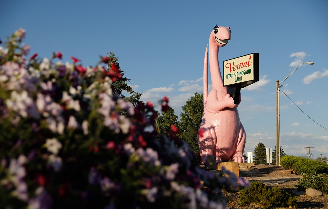
Vernal, Utah
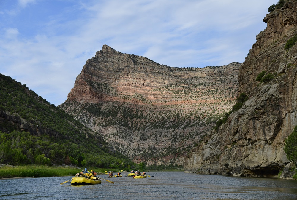
OARS river guide Sean Sorrin dug his paddles into Northeast Utah’s Green River, spinning a heavily laden supply raft past submerged boulders threatening to upend the craft in Hell’s Half Mile, a surging stretch of frothy whitewater, during an August river adventure that thrilled 14 combat veterans and five general aviation pilots.
Sheer rock walls frame the Class II to Class IV rapids in the Gates of Lodore, a wild section of river that cuts a meandering path through Dinosaur National Monument’s remote slot canyons. Bright green underbrush splashes the river with color as ancient rock faces that are 1.3 billion years old stand stoically under a blazingly blue sky. Ruby red rock cliffs are topped with tan sandstone like icing on a cake—and are relatively young at 500 million years old, Sorrin noted. The otherworldly scenery is exquisite but it’s so vast that it tends to make humans feel like small, insignificant creatures.
Pilots flying into Vernal Regional Airport in Vernal, Utah, have easy access to the Green River and a variety of outdoor adventures from the airport’s 7,000-foot-long Runway 17/35. However, be mindful of the 5,280-foot elevation and plan accordingly when summer daytime temperatures soar past 80 degrees Fahrenheit.
We had no trouble taking off with two crew and three passengers in Gregg Guider’s Embraer Phenom 100, and Ken Kirby easily lifted off in his Cirrus SR22 with two aboard at the conclusion of our four-day, 44-mile river adventure in August.
Summer nights from June to September are comfortably cool in the mid-60-degrees Fahrenheit, often requiring a quick wardrobe shift to polar fleece rather than shorts and a T-shirt. Be prepared for single-digit lows from November through February and daytime highs in the 40-degrees-Fahrenheit range.
Salt Lake City is the nearest commercial hub, but it’s a substantial three-hour drive beyond the Uinta-Wasatch-Cache National Forest.
Green River’s rumbling S.O.B. rapids, Triplet Falls, and Lower Disaster Falls challenged even the stoutest servicemen on the rafting trip, and two had an unplanned swim in the 50-degree-Fahrenheit river that flows at 2,500 cubic feet per second.
Geologist and artilleryman John Wesley Powell, who lost part of an arm from a war injury, surveyed the river in 1869 and plotted a path to its confluence with the Colorado River, which rushes through the Grand Canyon.
Several outfitters offer day trips and overnights on the river, which majestically cuts through Split Mountain. The sideways-turned mountain looks like an ogre sliced an enormous serving of red-and-peach layer cake from the earth and served it up on a verdant dinner plate.
Additional day trips and overnight journeys from the Vernal area await modern-day explorers, and the nearby Dinosaur National Monument is a real-life Jurassic Park adventure.
Dinosaur National Monument
If you’re looking for a realistic Jurassic experience, visit the Carnegie Quarry about 20 miles from Vernal where researcher Earl Douglass uncovered 10 species of dinosaurs, 20 dinosaur skeletons, and other rare finds during a discovery stretch from 1909 to 1920. Dinosaur National Monument’s showpiece is the Quarry Exhibit Hall—a rock wall embedded with more than 1,500 fossils and enclosed by glass for a one-of-a-kind display. Examples of Allosaurus, Apatosaurus, Camarasaurus, Diplodocus, and Stegosaurus are preserved from the late Jurassic period.
The dinosaur trail extends east into Colorado before turning back northwest into Utah near the Island Park Overlook and picnic area with a spectacular view of the Yampa Valley.
The Green River’s Gates of Lodore section, Echo Park, and Steamboat Rock are near the heart of the dinosaur monument.
Diamond Mountain/Jones Hole Fish Hatchery self-guided tour
If you don’t have much time and still want a taste of the magnificent scenery, consider a one-day self-guided tour of Diamond Mountain and the Jones Hole fish hatchery. It’s a 3.5-hour round trip by car as you climb from Brush Creek Junction’s 5,300 feet to a plateau at 8,000 feet where winter wheat grows among aspens and pines, and deer and elk graze. Be advised that some of the land is privately owned and some is public Bureau of Land Management acreage. The National Park Service notes that the hatchery provides brook, brown, and rainbow trout to local waterways in Utah, Wyoming, and Colorado. Tread carefully as you pass some of the hideouts used by Butch Cassidy, Matt Warner, Elzy Lay, and other outlaws in the late 1800s.
Red Cloud Loop
Unpaved roads await more adventurous travelers during a tour of the Uinta Mountains’ Red Cloud Loop Scenic Backway and Ashley National Forest that are highlighted by the National Forest Service as scenic automobile byways. You’ll know you’re in a remote area when you see signs pointing toward Hole-in-the-Wall Canyon, a Uinta Mountain gorge favored by Cassidy and cattle rustler posses. Sorrin noted that the Hole-in-the-Wall Gang traveled along the Green River and its slotted canyons, high plateaus, and creeks before moving on to Vernal. The loop affords a view of the Uintas’ 12,028-foot-tall flat-topped Leidy Peak; the forest service notes the north fork of Ashley Creek is a “Blue Ribbon” fishing area, with camping and picnic options, too.
Steinaker Lake State Park and Red Fleet State Park
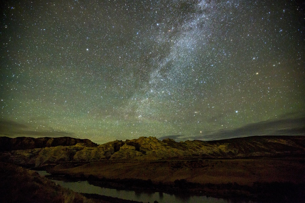
Steinaker Lake State Park is less than five miles from downtown Vernal and is convenient for fishing and camping—with a beach. In 2018 the park was granted international dark sky status, making it a good target for nighttime photographers. Rich geology, paleontology, and archaeology attract visitors to the Morrison Formation near the sandstone-cradled Red Fleet State Park that dates back to the Jurassic Period. A 1.5-mile fossil-filled hike reveals dinosaur tracks that turned to stone some 200 million years ago, according to material published by VisitUtah.com and the Uintah County Travel and Tourism board. Drivers exploring the Windy Point Scenic Byway Overlook can view the red rock formations that resemble ships, hence their Red Fleet name.
Indian petroglyphs and pictographs
Head northwest from Vernal for a one-day self-guided option to explore the curious trapezoidal and triangular-shaped drawings of humans and animals that Native Americans etched onto the walls and overhangs of Dry Fork Canyon, a moderate hike along Jones Hole Trail near Ely Creek cited as a Dinosaurland favorite by Utah.com.
The petroglyphs representing the pre-Columbian Fremont culture are accessible to hikers and are easy to view in the sandstone cliffs, but they are also very fragile and the park service reminds visitors not to touch them. Additional pictographs and petroglyphs can be viewed farther afield at Swelter Shelter, Cub Creek, Deluge Shelter, McKee Springs, and Pool Creek.


