It is rather well established that one of my most transcendent routines is to climb above a broken or overcast layer in the mountains, flying around in a bubble of tranquility. I enjoyed a comparable experience in Yellowstone once, flying over deep snows in early winter, well away from roads and ranger stations, out of radio range of flight service, while also not in range of cell service. The Yellowstone flight was not above the clouds, though the principle was similar. There is something incredibly freeing that comes from a total disconnection from human civilization, whether it comes from lateral distance in the wilderness, or vertical separation in the case of the clouds.
I have always been aware of the risks of such gamesmanship with the clouds. This spring, I purchased a backup artificial horizon, in case I miscalculated in a bad way, ending up forced to descend through the layer. More importantly, I was concerned with an engine failure above the clouds, where the decision was made for me where I would descend below. Aside from this instrument, I virtually always have multiple successive backup plans in case the hole closed, though it never had.
That was, until a recent flight. It was a Bise wind, which typically involves a solid, raucous overcast below, non-turbulent strong northeast winds above, and a clearly delineated top of the cloud layer. They also tend to be recurringly orographic, with gaps in the clouds in certain valleys, as the northeast wind impacts various ridges, creating a rain shadow (also known as a large hole in the clouds).
On the afternoon in question, I noted typical Bise behavior for several hours. My wife thought my evening flight plans were a bit silly, and I pointed to a normal spot to the east, identifying a large area where the sky was blue. By the time I took off, that area got smaller. As I climbed to 7,000 feet, it seemed a bit tighter as I climbed in a circle through it, navigating around the moving nature of the clouds. The forecast called for the formation of some low-level waves 10 miles to the west, which was a bit unusual, though it also called for the clouds to dissipate a bit after sunset.
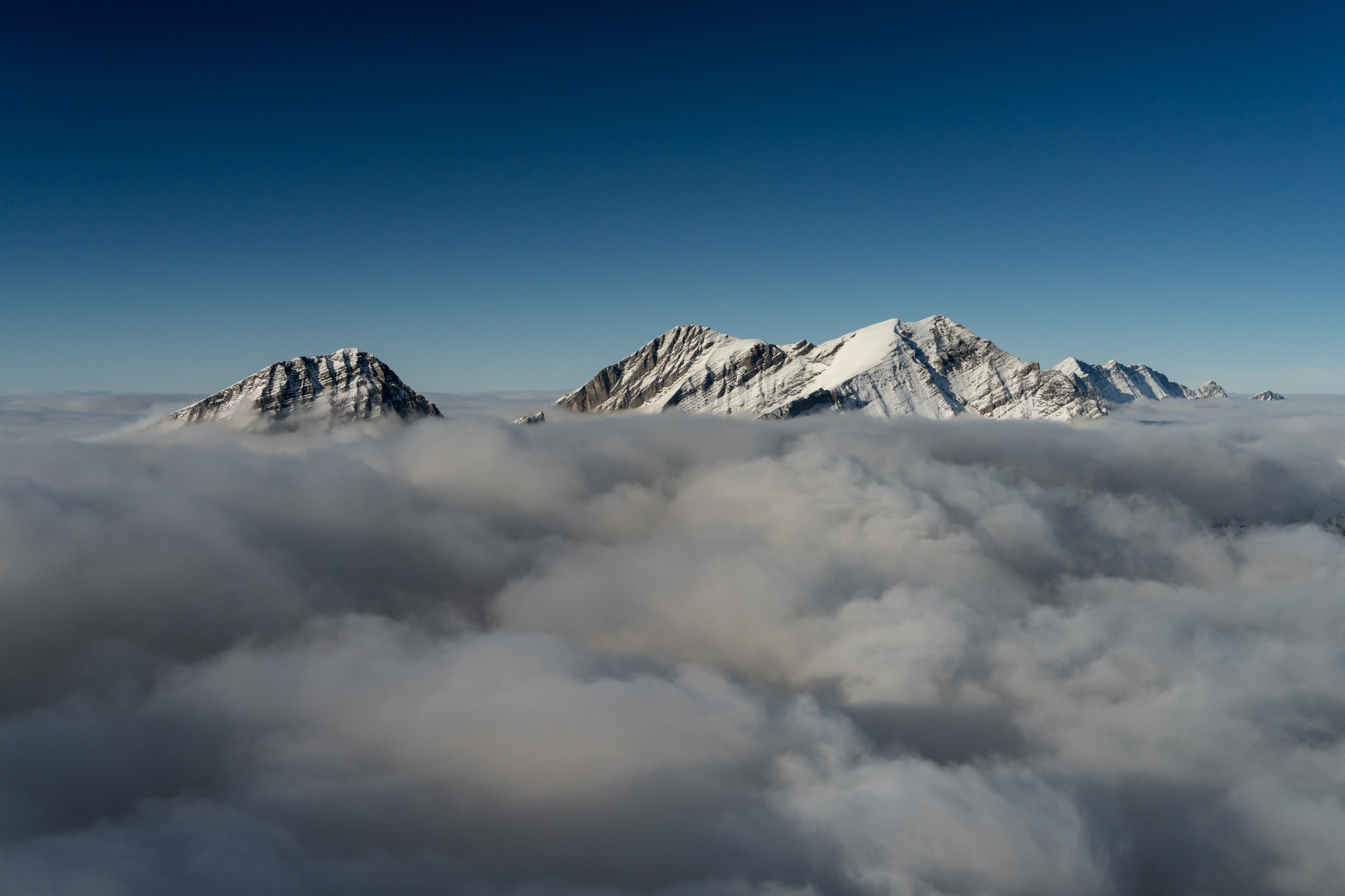
I hooked into one of those waves while still in the hole and rode to 10,000 feet above the clouds rather rapidly. Focused ahead, I noticed that the typical gaps over certain valleys did not exist. For that matter, the iron flat tops of the clouds were more animated, with wave signatures riding east to west over the foothills of the Alps. As I focused on riding the wave up, to avoid a fear of mine, which is to get sucked down into the clouds (hasn’t happened…. yet), I finally noticed that the hole behind me largely closed. Imagine that.
Sion was a backup, roughly 20 minutes away, which I could clearly see on the other side of the Bernese Alps was open. That was checked in my forecast, as I always either have multiple backup plans, or am intimately aware if I am leaving myself without one. Flying directly south to get away from the cloud deck as soon as possible (in case of engine failure), I noticed that the waves were rolling over terrain below, which I know quite well. While clouds topped at 9,000 feet or so, there was some activity at the tops.
My next concern was strong winds from the NE and now heading “over the edge” to the other side. Does this mean an overnight in Sion, if I could not overcome downdrafts to get back? I intuited that the winds were sideswiping the Alps, though had never crossed over the lip during a Bise. As I got to Sanetschpass, intuition was correct, and winds died down to 10 knots.
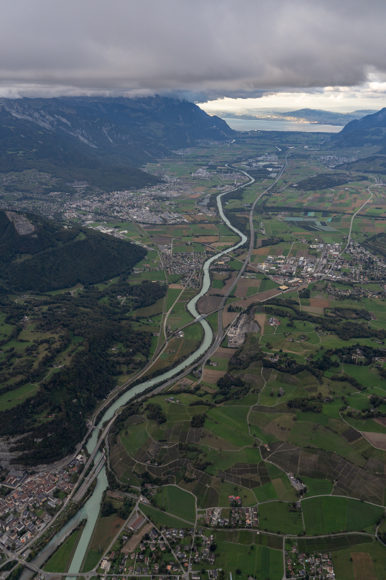
At this point, with an alternate in sight, I rode along the edge of the overcast layer east, then turned south over the wide-open Rhône valley, before turning west to enjoy some overcast clouds against the Valais Alps. My goal was to check out Evionnaz, where the cloud deck typically ends. I heard a flying club aircraft on ATC on the way back to Geneva, heading at an altitude below the cloud deck, versus going above and dropping in. Sure enough, like normal, cloud bases were 6,900 feet, with the valley floor at 1,400’ MSL. I dove in and thought the flight back would be a little slow but uneventful.
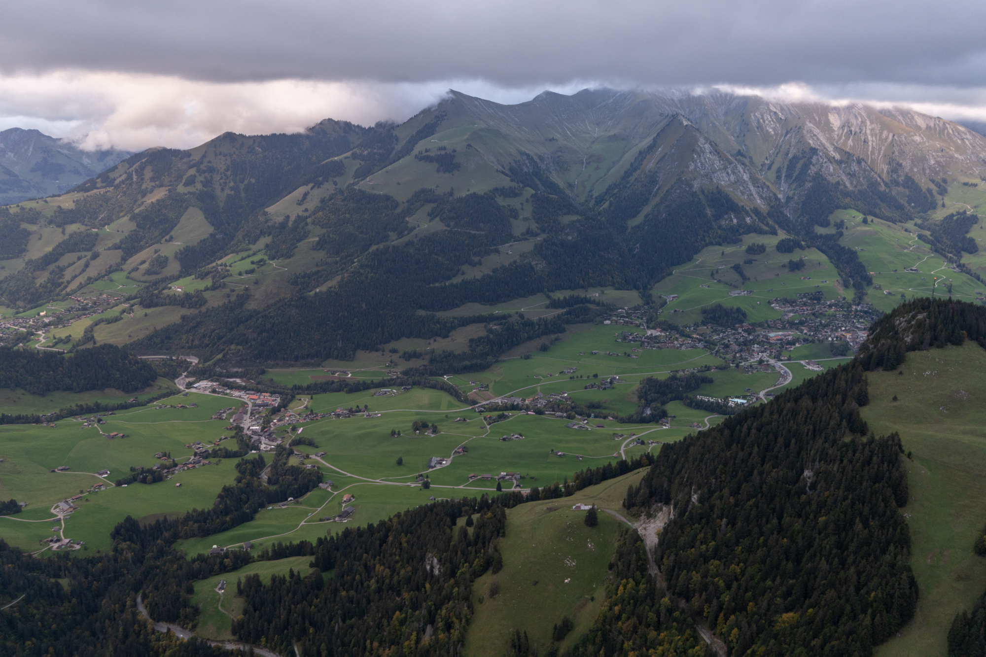
As I got to Col de Mosses, it was a bit disorienting as I expected to see a light at the end of the tunnel, which would have been the Sarine Valley. Instead, it was a bunch of menacing gloom, with Col du Pillon visible to my right. Proceeding over Col de Mosses at 6,300’, it started a steady mist, which was not forecast. Continuing along and well within the ability to turn around and alternate to Bex, I checked my fancy thermometer that I installed a year ago: 33F / 0.5C! Yikes! That was not forecast, either. Scanning aircraft surfaces, no ice had formed, though I had to cycle carb ice regularly in cruise.
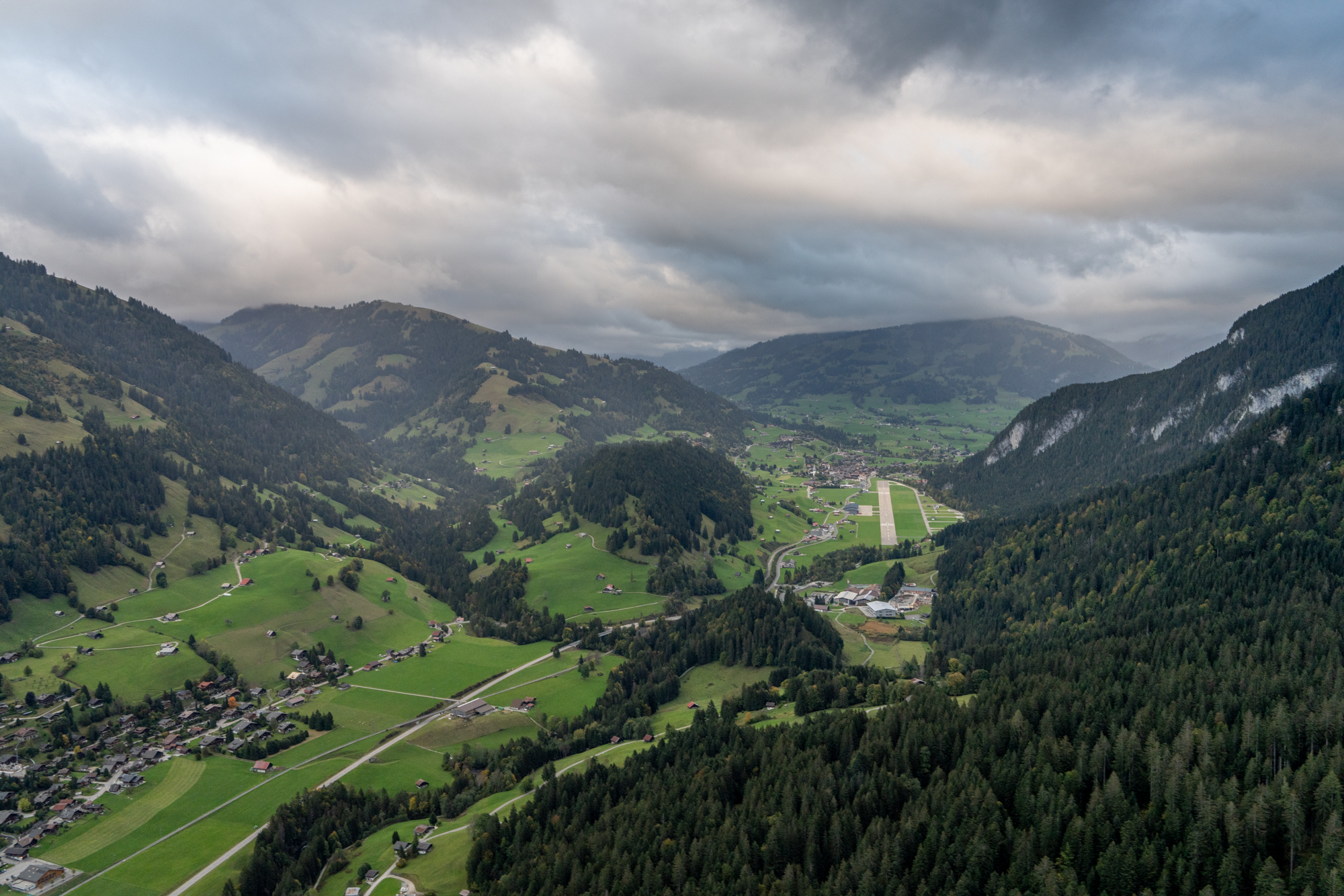
Once over the pass, I descended 1,000 feet to bring temps up and landed on a long final 10 minutes later, noting that the holes remained closed, showers had moved in, and the clouds were thicker. So much for the forecast, which indicated the opposite.
What is interesting is my hike the next day. I considered flying again, and my wife insisted that I go hiking instead. The sun was out and, again, clouds were supposed to burn off, so I picked an illustrious ridge to climb that I had not visited before. I suspected that, if I played my cards right, I might see a few clouds below on the other side, though I did not hold my hopes up very high. Note that the hike in question is about 10 minutes out from the airport, where I usually have descended to 7,500’ by this point.
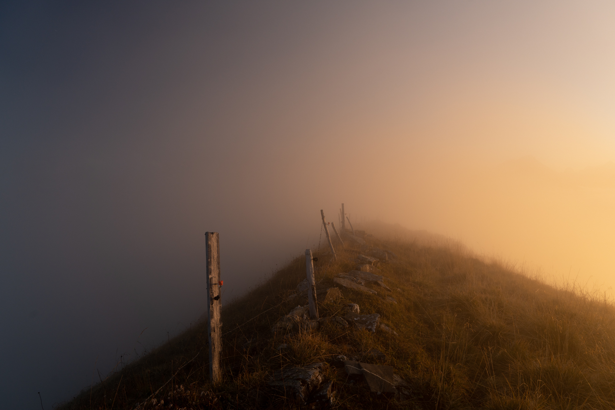
As soon as I got to the first ridge, I could see some clouds on the other side of the valley. I first thought they would “do nothing for my photos,” so I carried on, hiking along the auxiliary ridge. In short order, some “wisps” formed above, which turned into fog. 30 minutes later, on a ridge with some steep options on either side, I was trudging along, in the soup, before sunset, asking myself why I was bothering. “Instinct maybe?” I thought to myself. “At what point should you go back?” I thought, as I kept going forward.
Instinct was rewarded by bursting above the clouds. The scene was celestial…and telling. The whole valley where the clouds would “do nothing for my photos” was totally socked in. For that matter, Rüwlispass, which had been dry, was flowing clouds down toward the airport. “Hmmm…perhaps the wife was right.” This all happened in 25 minutes.
After enjoying utterly breathtaking views, I began to slither back to the car, which I now realized would be an after dark trek in the fog. The cloud deck was thickening everywhere. By the time darkness fell, the entire series of valleys was fully socked in. Again, it was not forecast exactly like this in this neck of the woods. The forecast called for the cloud deck to stop “where it usually does,” near Zweisimmen.
Had I been in the air, I hope I would have noticed the clouds thickening. Would I have been frolicking elsewhere? Maybe, though I usually do not venture as far in such situations, if there is a reasonable risk that the cloud deck might misbehave. In any case, on the day I hiked, Sion was still a backup, as were many other options. It is always interesting to contemplate when one might need to use one of them. It is further enlightening to be standing in the atmosphere when it plays its sneaky tricks.
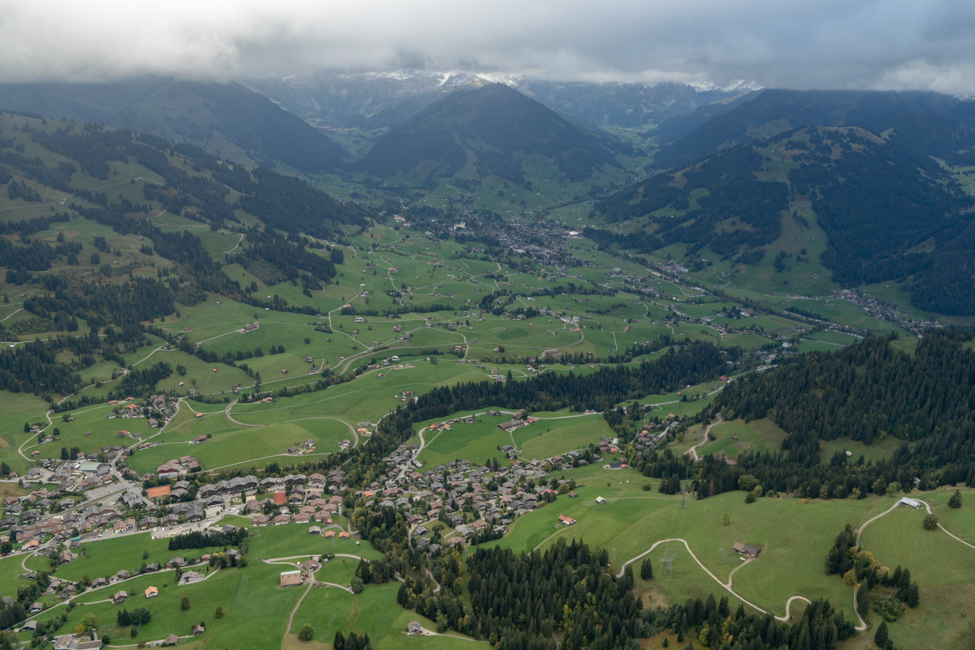
Gstaad. Cloud bases roughly 7,000 feet.
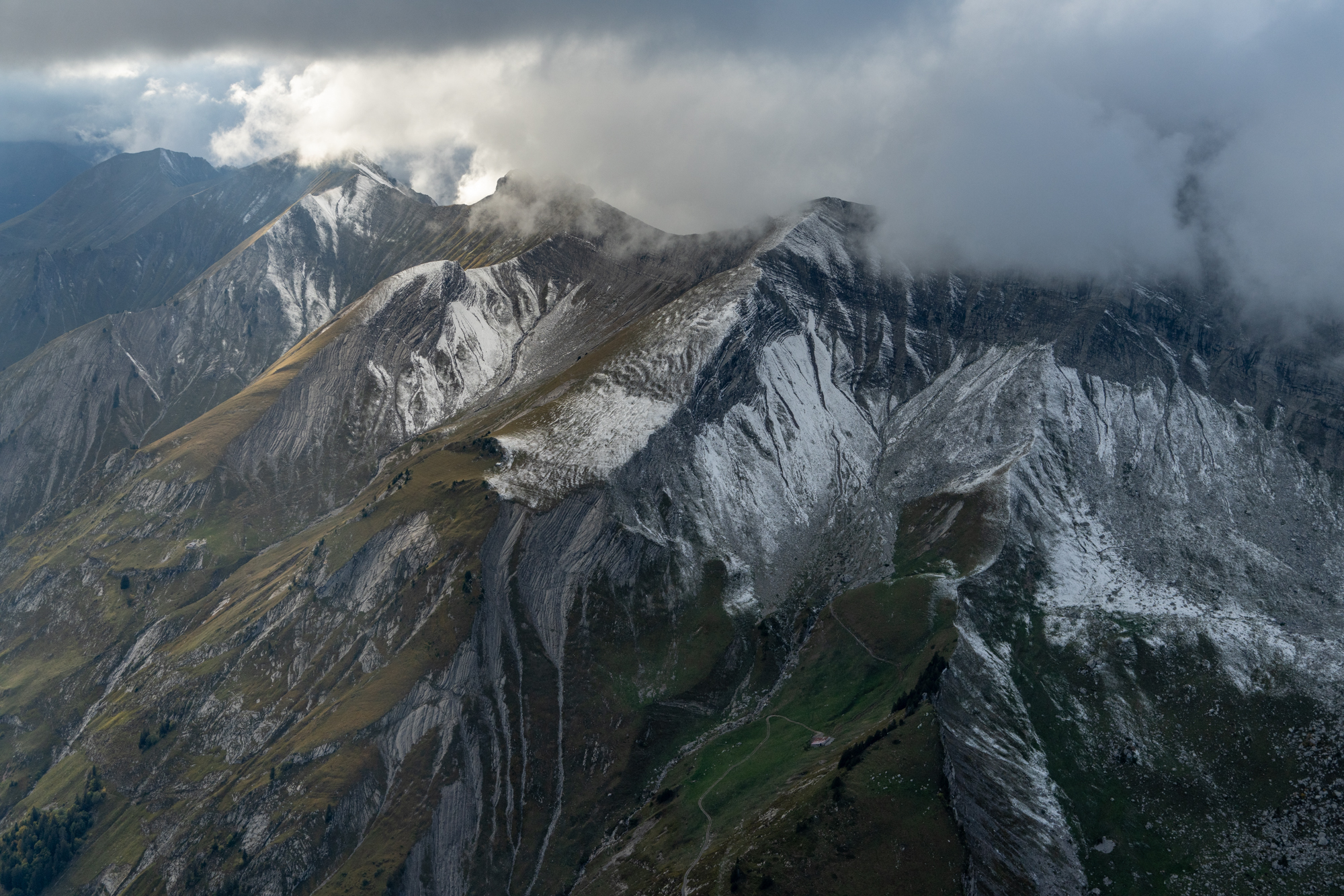
An unusual perspective of Vanil Noir.
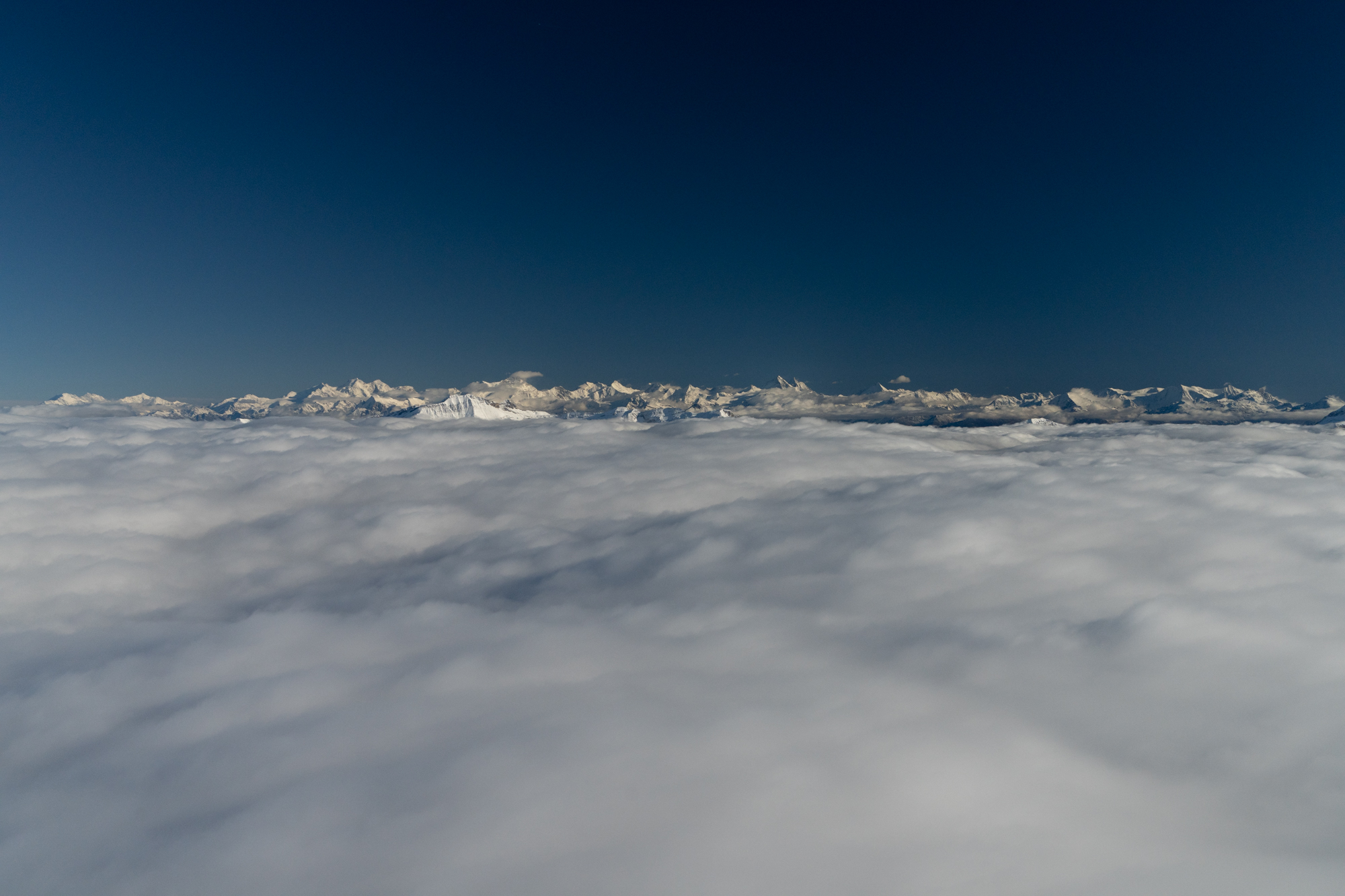
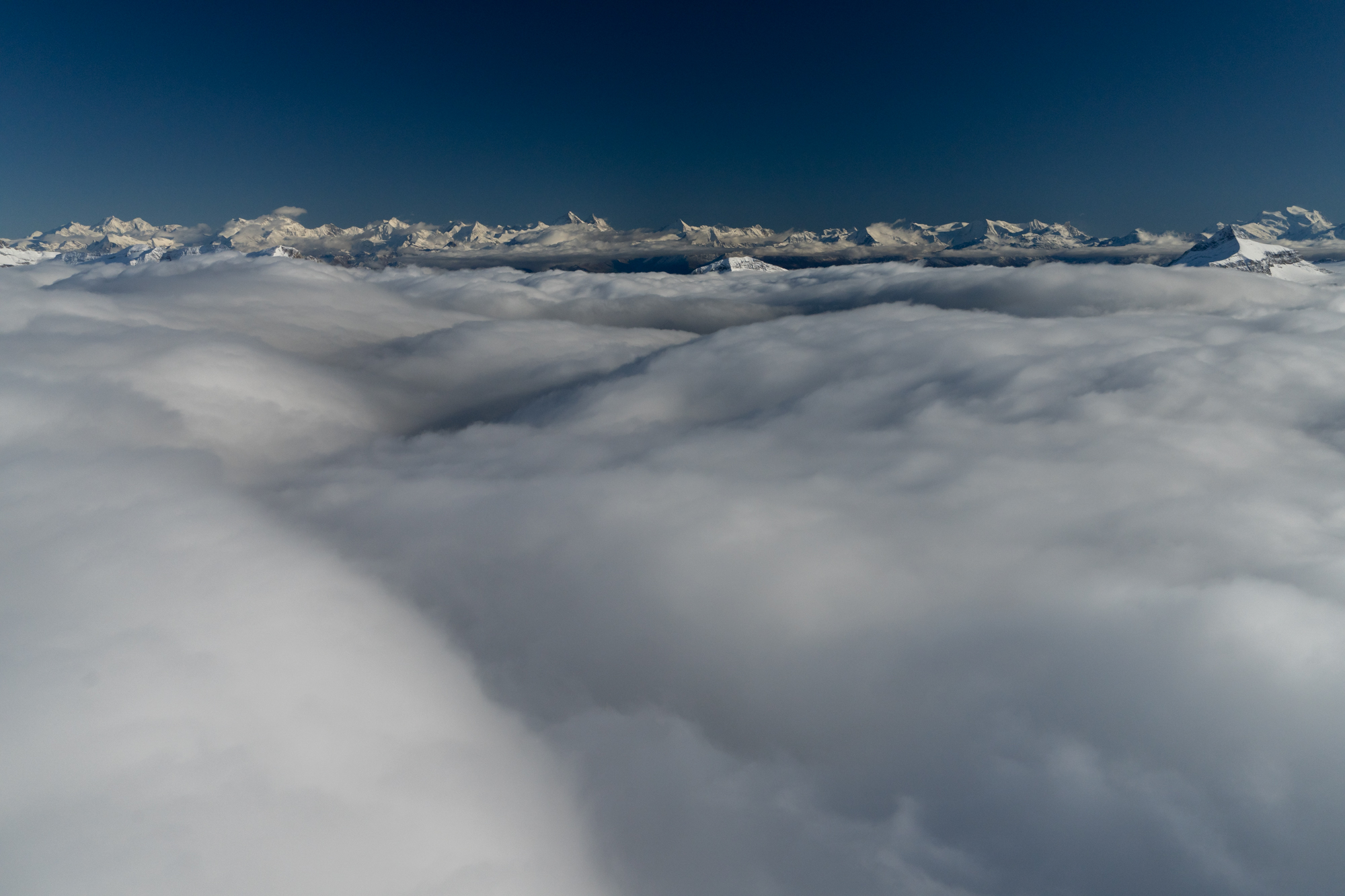
Through the hole, with the Bernese Alps straight ahead. The top is not perfectly flat.
These wavy clouds are following terrain below (which I know very well). Added power as descending part of light waves would like to suck me down into them.
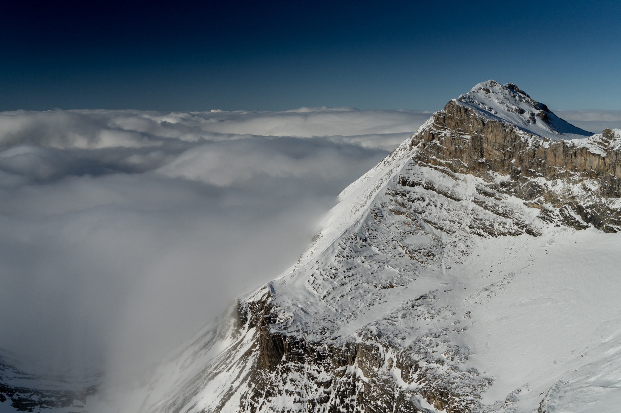
Wildhorn (10,656′), on the lee side, at the border of the clouds. Winds are relatively tranquil.
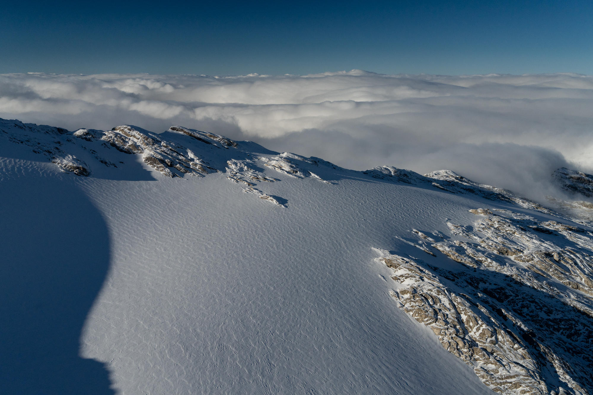
Glacier de Ténéhet, under some early snows, with clouds behind, with light wave action evident.
Glacier de Plaine Morte, hiding under the clouds.
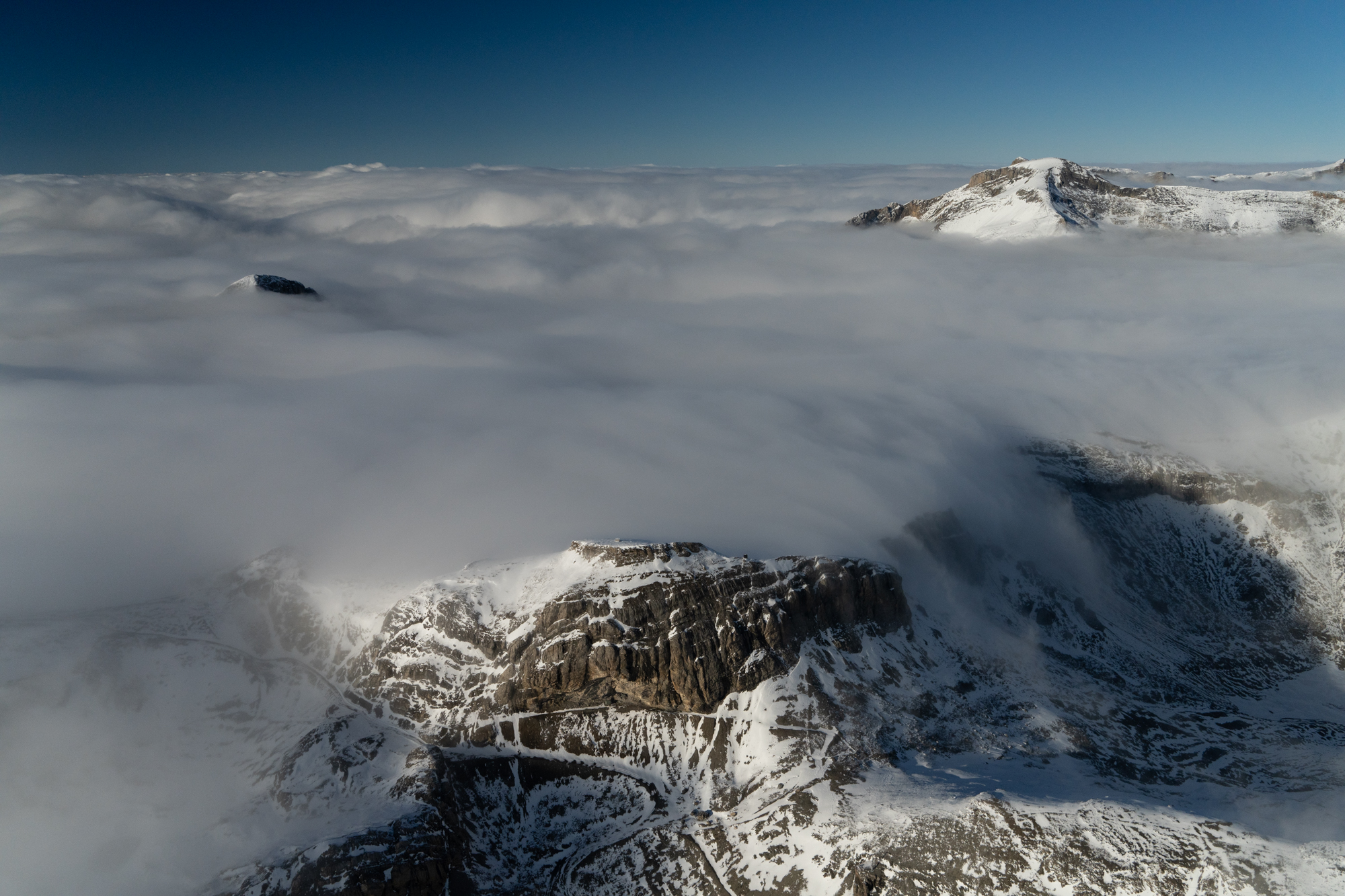
Doldenhorn ridge.
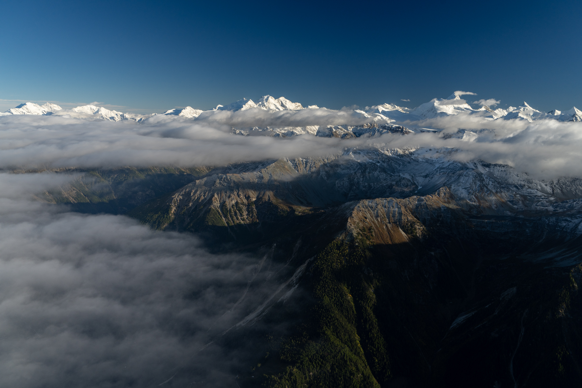
Other side of the Rhône valley. Matterhorn is hiding in here.
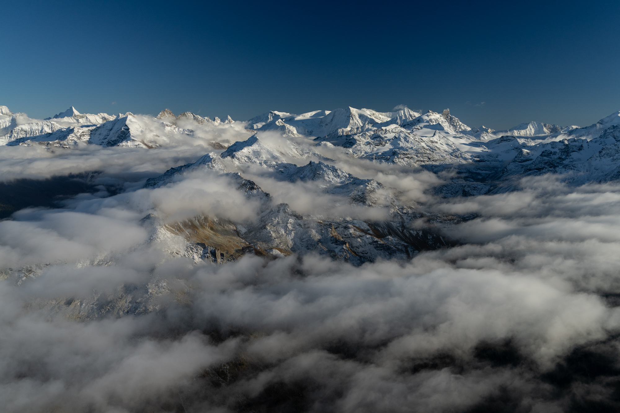
Grand Combin (14,154′).
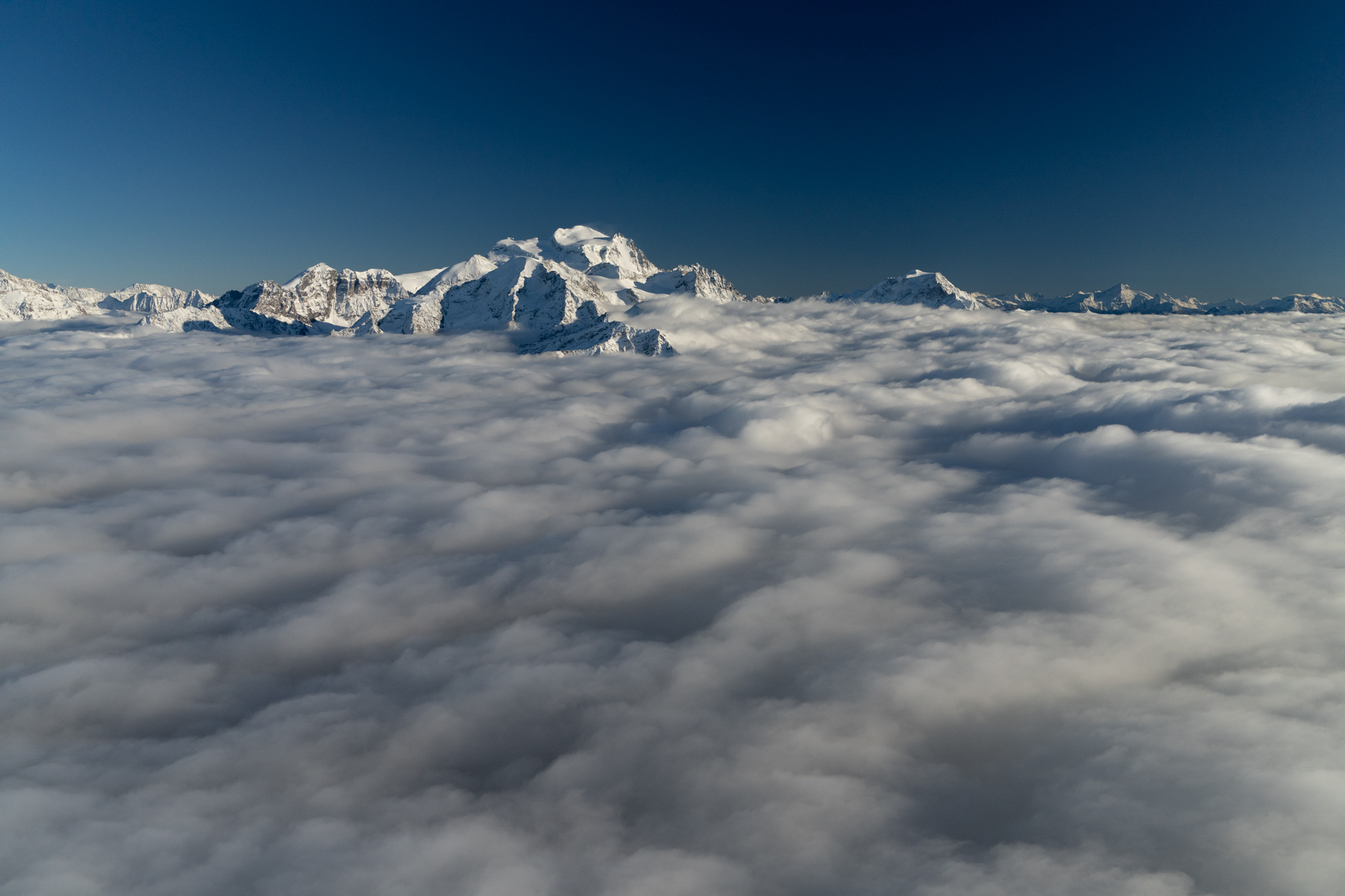
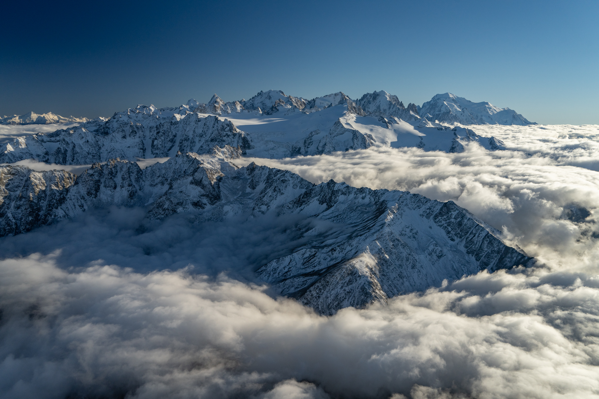
Good old Mont Blanc.
Rhône River, under the 6,900′ cloud base.
Over the pass, with mist. The camera is making it look more pleasant that it is.
Light rain showers and all holes closed….long final 08.
Hiking the next day. with a few clouds.
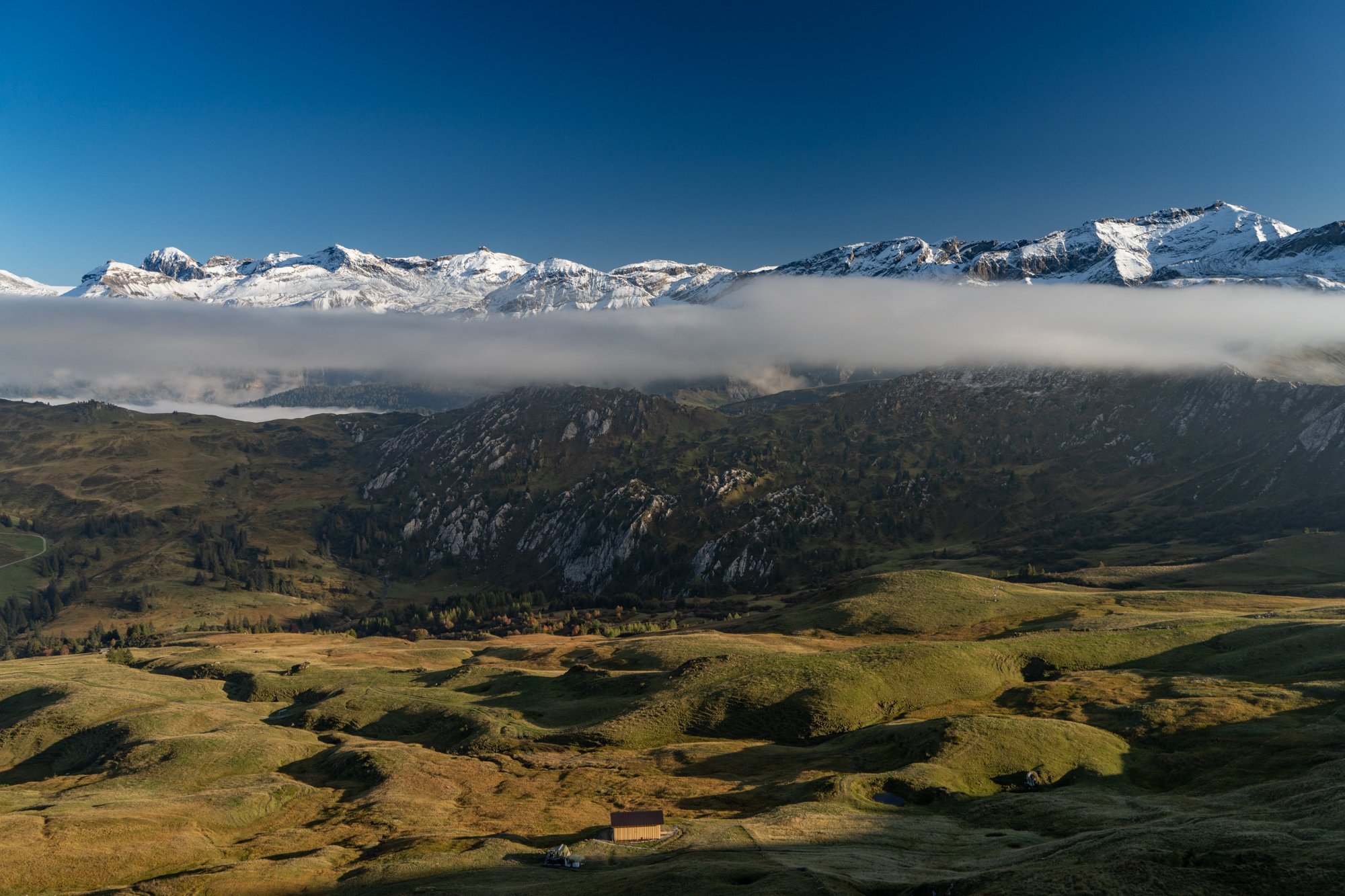
Where I hoped to go…
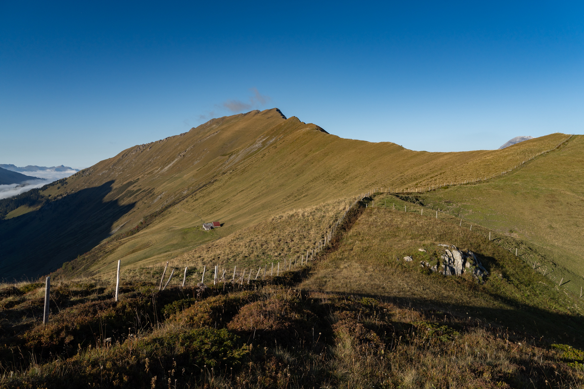
Some wisps showed up.
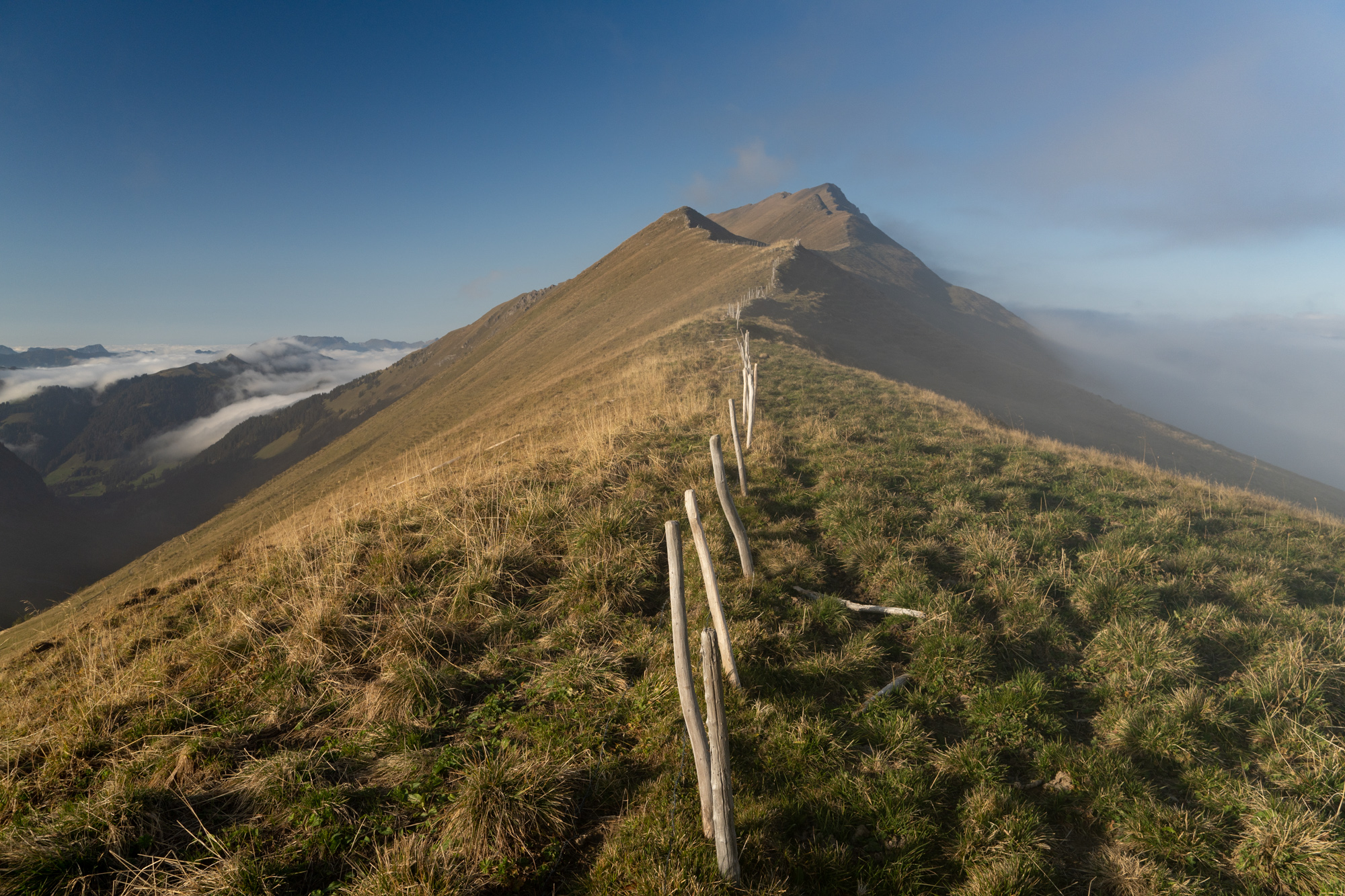
…which turned into an overcast deck within 25 minutes.
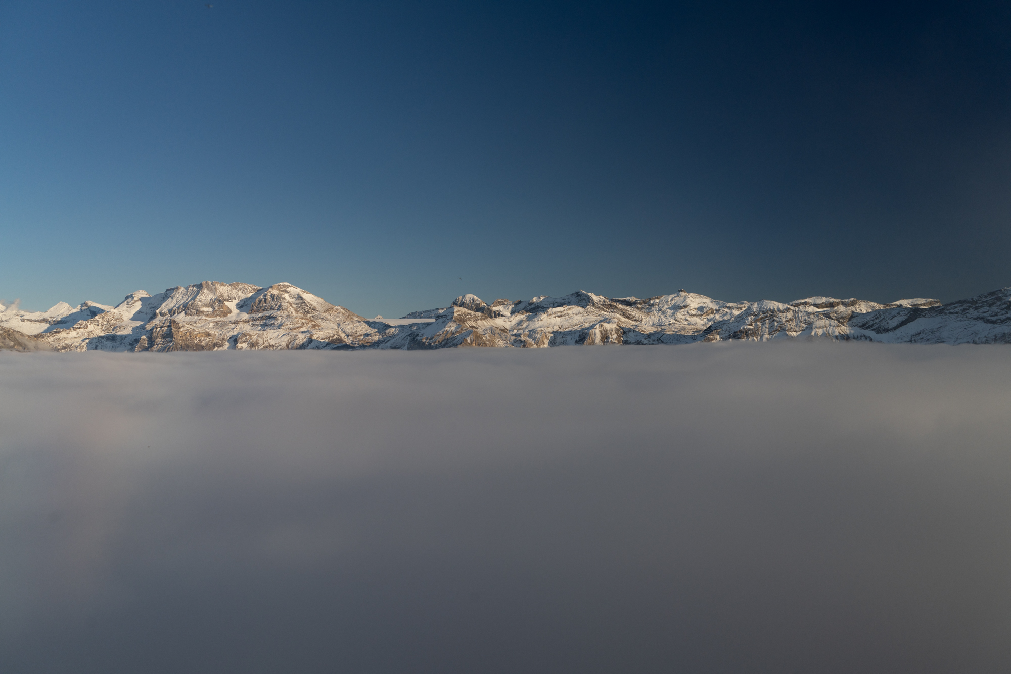
Clouds spilling over the left, socked in on the right (where two airport alternates exist below).
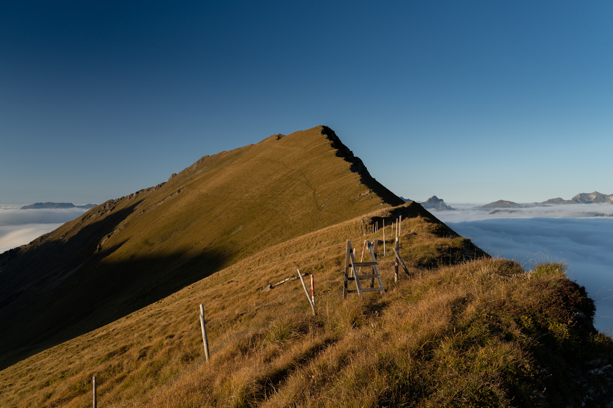
Note the clouds spilling over the pass, like water.
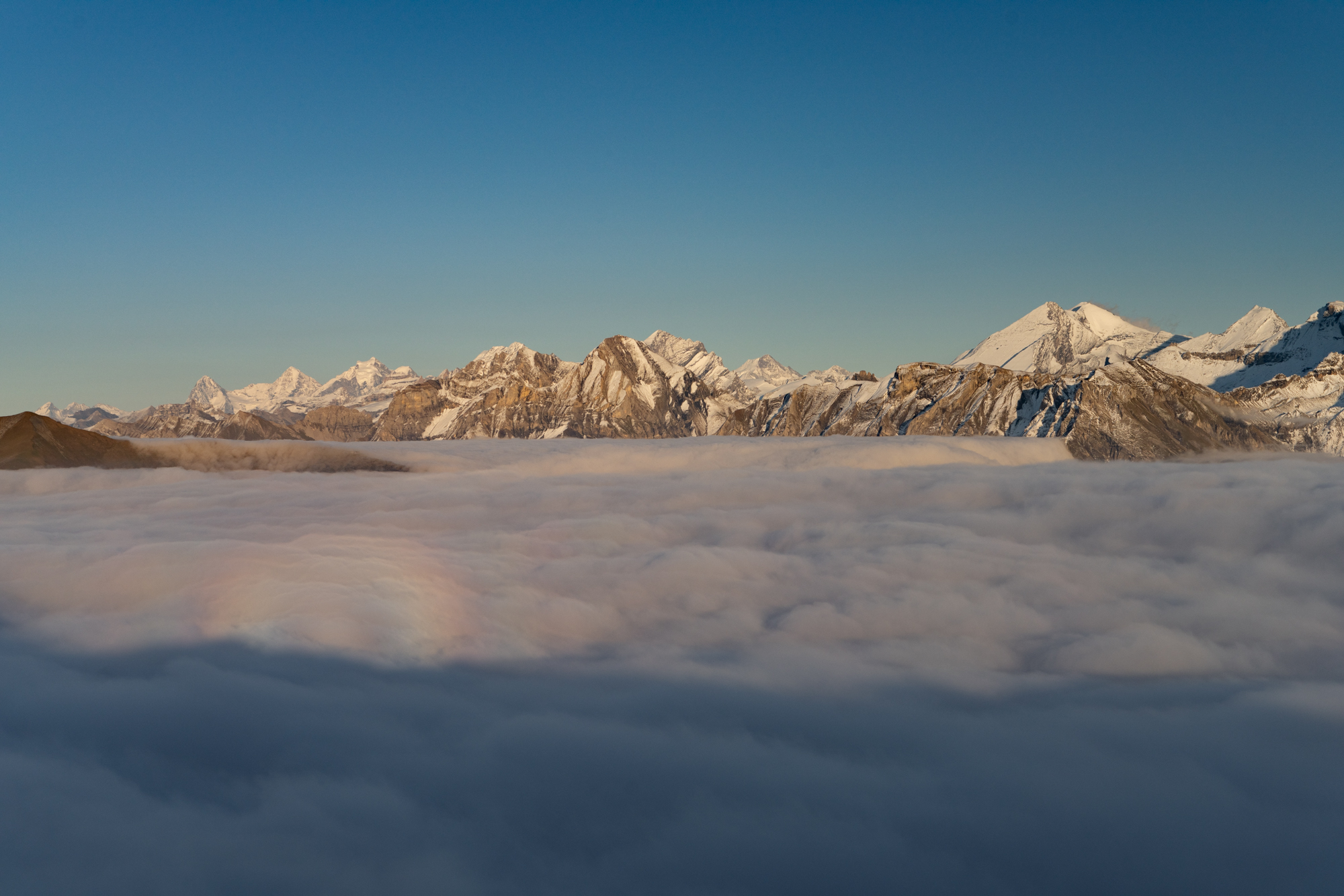
The ridge I hiked up is down under this river of clouds…
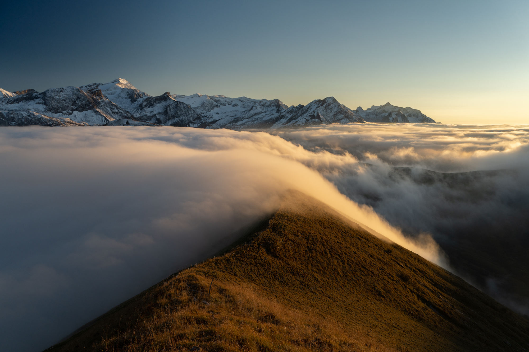
…which mysteriously went away…
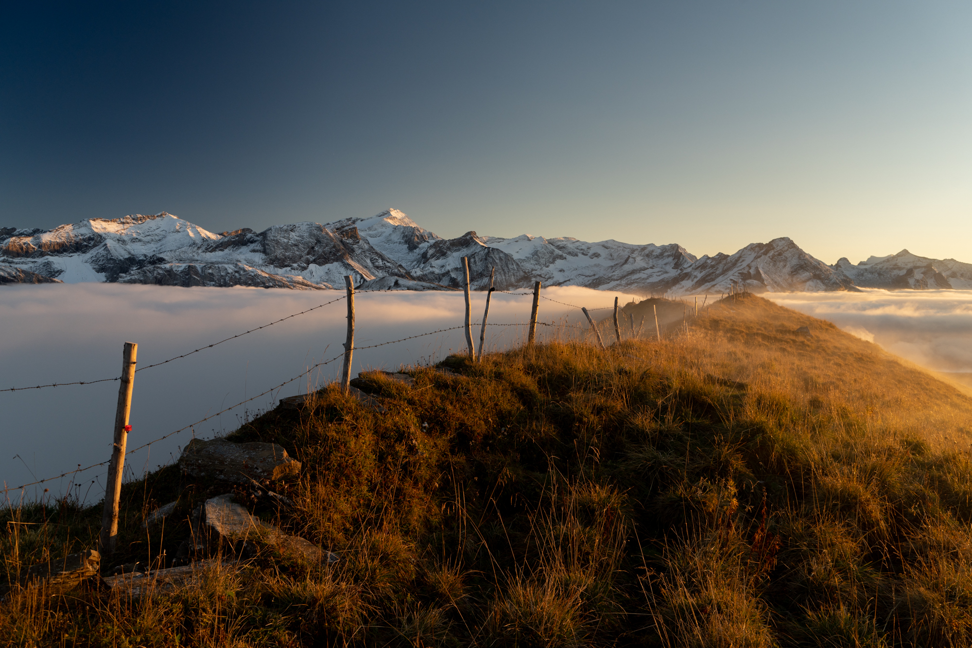
…and came right back.
