In captain smith's footsteps
Exploring the chesapeake Bay by air
Fly with us around Chesapeake Bay
At the southern end of the Chesapeake Bay, 35 miles up the James River, is James Island, the site of the first permanent English settlement in what would become our United States. It was from here that Captain John Smith ventured north in 1608, up the Bay and its many tributaries to discover for the English the first time the land surrounding where they had settled. His detailed journals fanned interest in the New World and encouraged more exploration. Although its beauty remains, the Bay today is a considerably different place than when Smith first sailed its waters. Roughly 200 miles long, the Chesapeake Bay is a captivating mix of early historical sites, modern cities, verdant farmland, fantastic seafood, and, for pilots, more than a dozen interesting airports to explore.
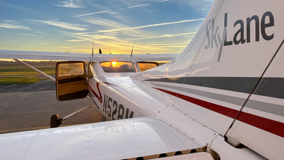
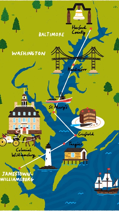
And so, AOPA Senior Photographer David Tulis and I decide to follow Smith’s journey in a Cessna 182 to discover the waters as he did albeit from the sky, and not nature’s journey, which, if you include tributaries, begins as far north as the Catskill Mountains and as far west as West Virginia.
Movie sets
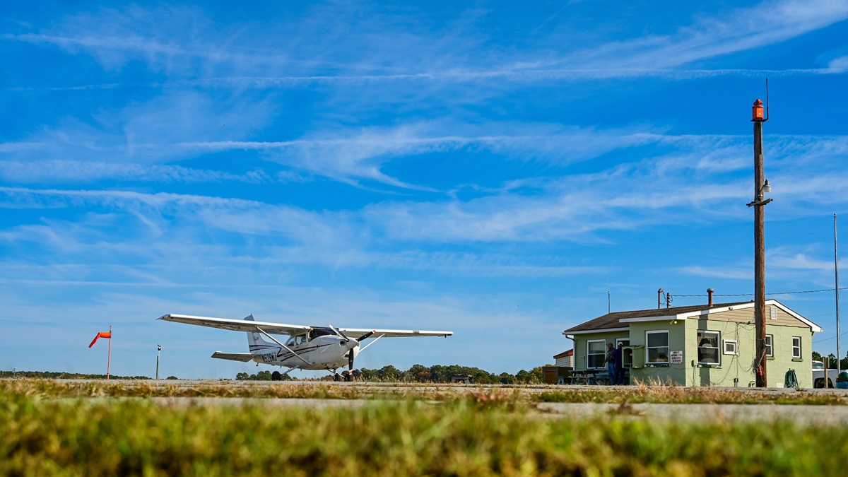
The Williamsburg-Jamestown Airport (JGG) is just a few minutes from James Island and Colonial Williamsburg, and it proves to be a convenient and welcoming launch point. Sitting outside greater Norfolk’s busy military and civilian airspace complex, approaching this privately owned, public-use airport is stress-free. A quick Uber ride gets you to a range of historic sites, including the National Park Service’s Jamestown site. This idyllic setting on the river is part park, part archeological dig site. For more in-depth information and discovery, the commonwealth of Virginia’s nearby Jamestown Settlement museum takes visitors back 400 years to what life was like for the settlers.
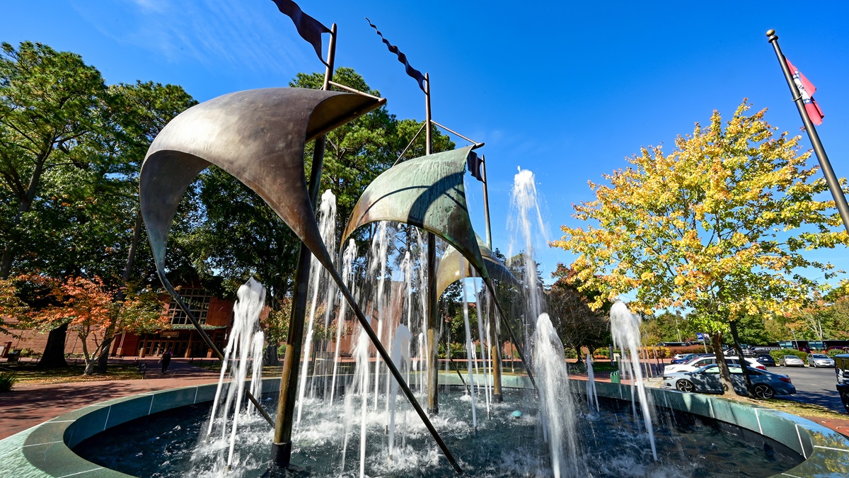
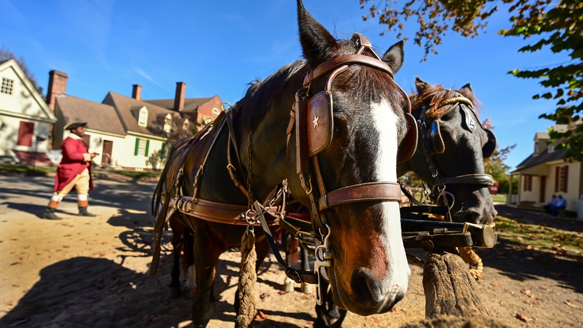
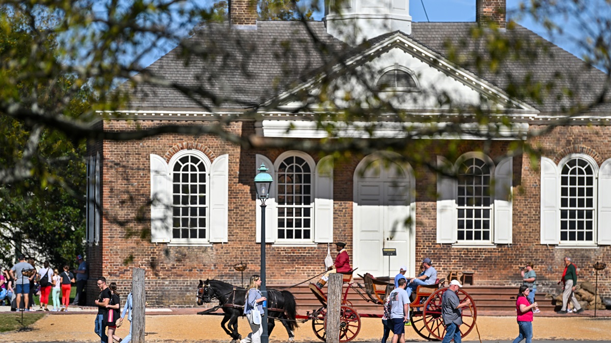
A short 10-minute drive through tree-lined streets past Colonial homes and through the center of William and Mary University, the nation’s second-oldest higher educational institution, is Colonial Williamsburg. A few blocks of modern boutiques and restaurants seamlessly flow into expert recreations of Colonial-period buildings. It’s like stepping onto a movie set as you wander from the local inn to the leather shop and outside to the horse-drawn carriages, complete with period re-enactors. Only the many school groups snap you back to the present.
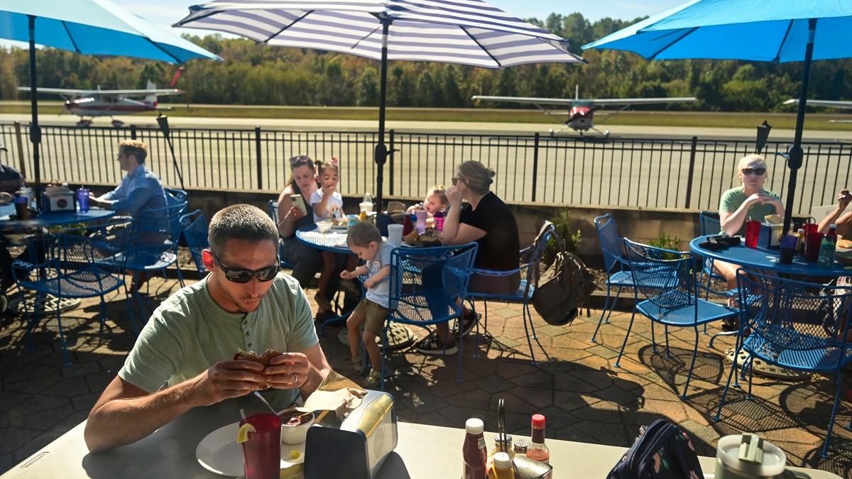
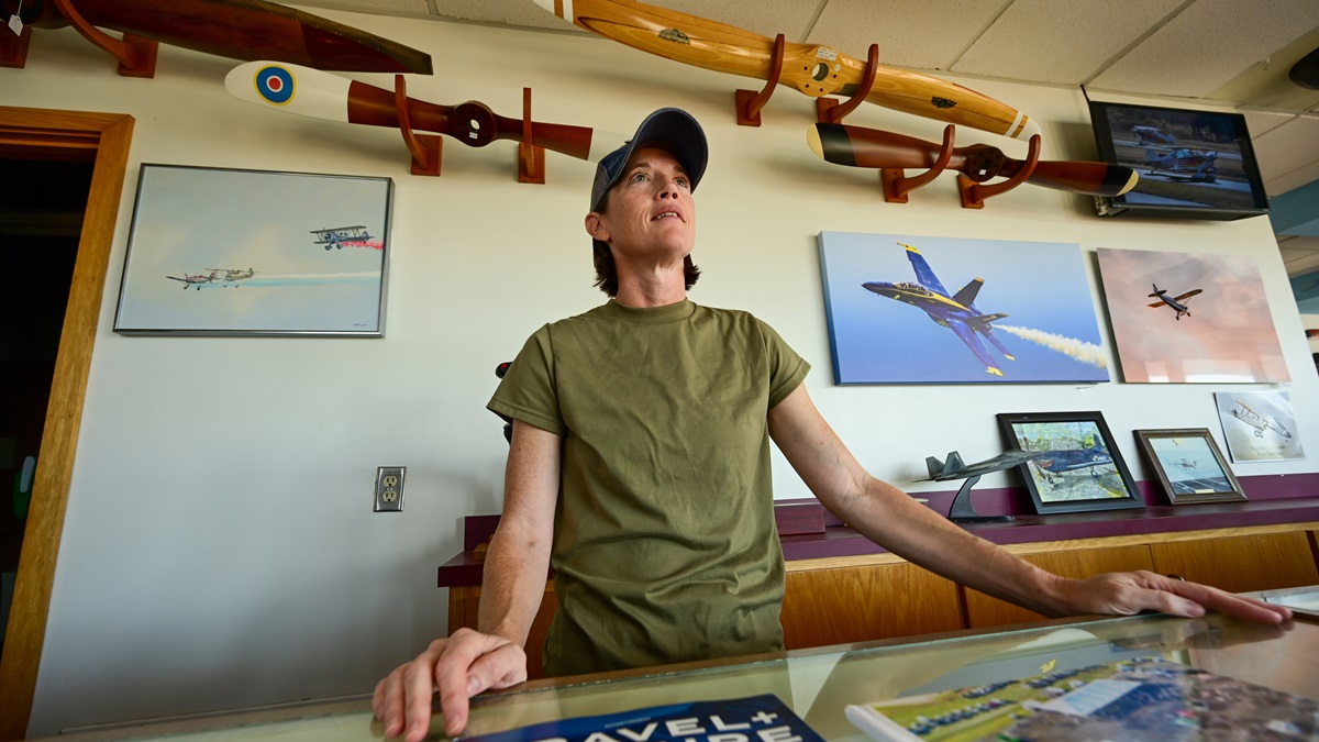
It’s like stepping into a movie set as you wander from the local inn to the leather shop and to the horse-drawn carriages.Anxious to make it up the Bay, but sad to leave a place that would take days to fully explore, we head back to the airport, hoping to make it to Tangier Island for lunch. But a quick call to the restaurant makes it clear that our fall Bay tour will require flexibility. The person at the restaurant says they may be there when we arrive, or they may not. Proximity makes it an easy decision to instead have lunch at Charly’s Airport Restaurant in the main terminal at the Williamsburg-Jamestown Airport. This turns out to be a fortuitous change. When the French dip comes to the table, the overwhelming smell is freshly baked bread, the restaurant’s specialty. Despite it being a Tuesday in October, the place is packed inside and out, and it’s easy to see why. Expertly run by Dan Hausman, a former staffer and now owner, the staff consists of him, a server, and a cook. Despite numerous great restaurants in town, Charly’s makes the short drive to the airport worth it for locals.
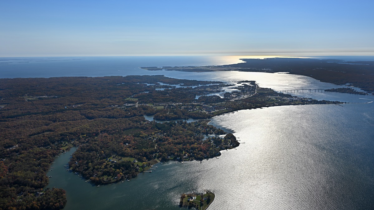
After stuffing ourselves we head east out of Williamsburg for the New Point Comfort Lighthouse, an easily recognizable landmark on the west side of the Bay that keeps us easily north of the busy airspace and provides the shortest crossing point in that area to the Eastern Shore. Here the Bay narrows slightly before widening to the north, and the view of the Atlantic Ocean beyond is a beautiful sight. The massive Route 13 Chesapeake Bay Bridge and Tunnel complex slices across the Bay’s opening to the Atlantic Ocean, and ships wait for their turn in the Norfolk harbor.
Here the shore is a mix of grasslands, cliffs, and enticing white sand beaches. The lighthouse point is an ever-moving white-sanded shoal that gives the Bay a true southern Atlantic shore feel. Turning north along the Eastern Shore we admire a different shoreline of farms, large coastal homes, marshes, and more.
Tangier Island
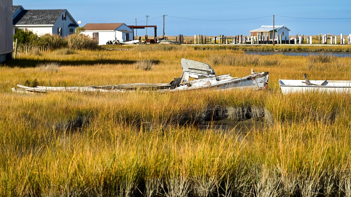
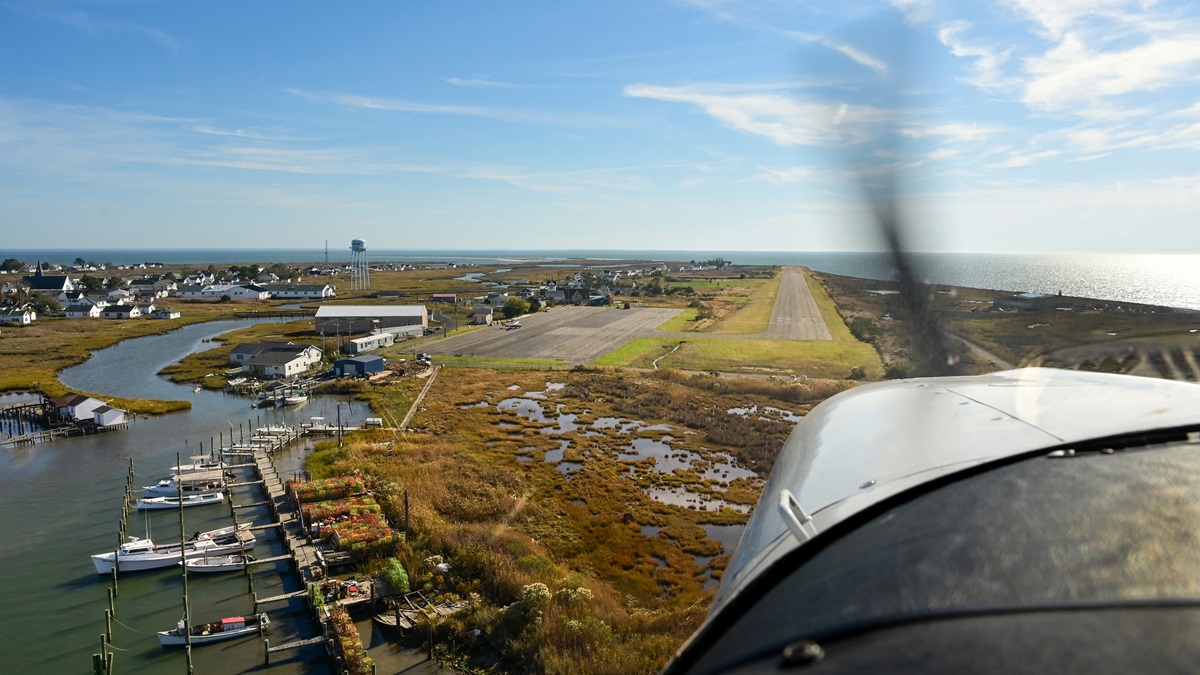
Despite the unreliable restaurant, we decide to keep to the plan and land in Tangier because no Bay tour would be complete without it. This is a place unlike any other in the country, where the locals are known for their subsistence lifestyle and Cornish accents. Now down to fewer than 1,000 residents, it has also become a focal point of climate activism as rising sea levels threaten to completely drown the island and displace the residents, whose families go back hundreds of years here. All the Bay’s islands are shrinking, and even the most pessimistic residents are eager to stop the receding lands, as these islands are integral for everything from wildlife habitats to protecting the main shorelines.
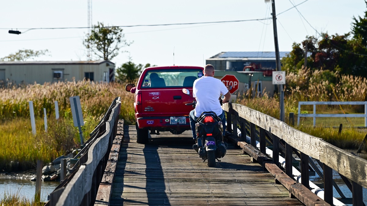
The cake is rich without being cloyingly sweet, and the perfect density to stay together but tender enough to feel like a treat.The winds are stronger by the water, but right down TGI’s 2,426-foot runway, and stepping out of the 182 the smell of tidal waters hits strongly. Water is visible in every direction and homes abut the small parking area. After throwing $10 in the landing fee mailbox, we stretch our legs and walk toward town. Some of the front yards have standing water despite it having been a dry fall, a clear sign the Bay is winning the battle. With only a few miles of navigable roads, locals favor golf carts and scooters more than cars. A hello wave only occasionally gets a response. No doubt this community grapples with the balance of tourism dollars and exploitation as so many isolated towns do in the Instagram era. When everyone knows everyone else, visitors are obvious.
Our stop is only long enough to encourage a future visit and we soon fire up the 182 in search of dessert. After taking off to the south, we make an early crosswind turn to the north, and stay low for the 14-mile hop to Crisfield, Maryland. There’s not much open water between Virginia’s Tangier and Maryland’s Eastern Shore, but what we do cover is a beautiful sight dotted with fishing boats, duck blinds, and marsh grass. We are headed to this crabbing capital in search of Smith Island cake, a delicacy native to the area. As the afternoon wears on we need our sugar fix, but being unable to connect with the local taxi in Crisfield before taking off has us wondering whether we’re going to be once again left empty-handed.
The good stuff
A short flight over the world-renowned crabbing town and we are landing at sleepy Crisfield-Somerset airport (W41). As luck would have it, airport manager John Wunder is there. He immediately gets on one of his two cellphones and gets to work. Crisfield is the kind of place where the airport manager knows the taxi driver, who also runs the canoe rental and the local catering company. On the other end of the phone, we wait for her to wrangle some kids. Thankfully a car soon pulls up outside the old one-room building that serves as the FBO. Before we hop in Wunder tells us to avoid our initial intended cake shop, because, well, the owner is a carpetbagger, and instead head for Johnny Sweets.
Usually 10 layers of sponge, each separated by luscious buttercream frosting, the mini Smith Island cakes on display at Johnny Sweets are only five layers. The refrigerated, pre-made cakes don’t inspire confidence that we’re getting the real thing, but our options are limited. Just off Crisfield, Smith Island is a small fishing community like Tangier. The cake is said to have been a treat for the fishermen as they sailed off in search of fish and crabs. Our mini cakes seem fitting of the place, where nine crab houses, big factories where workers shuck crabs to send the enticing meat around the world, have dwindled to only one or two today, machines having replaced the rest.
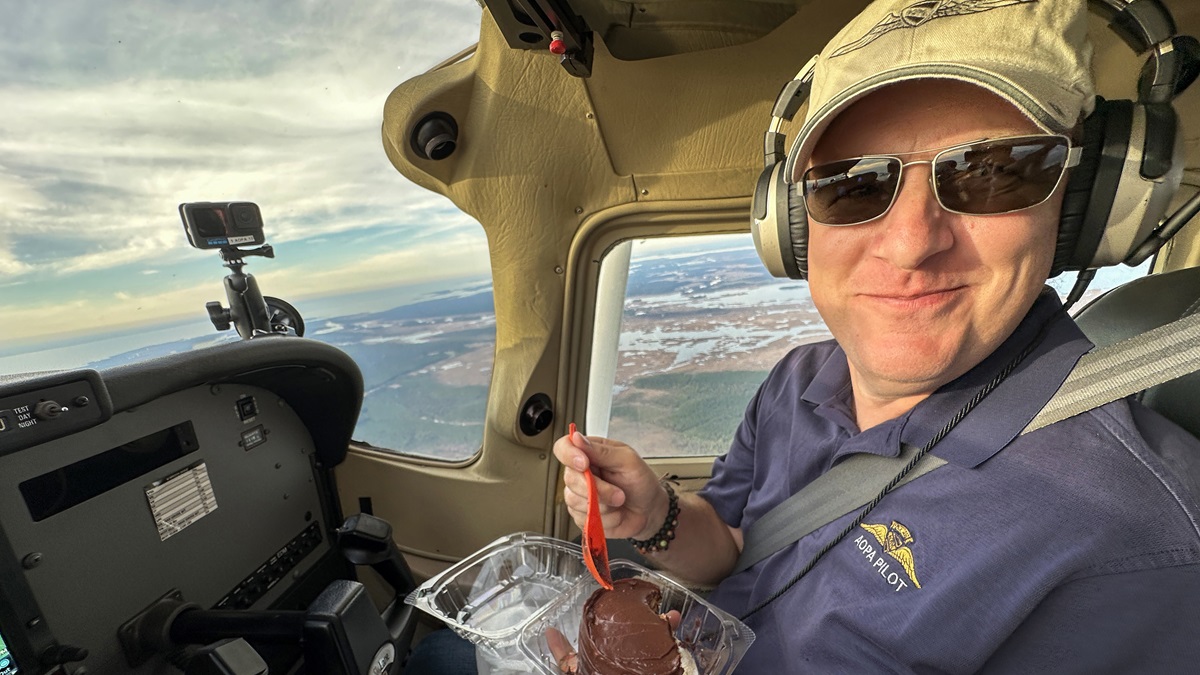
We decide to save the cakes for the last leg of the day. The plan is to head straight back across the Bay to overnight in St. Mary’s on the Patuxent River. But a call to NAS Pax River informs us that the massive restricted area complex centered over the water is active. So, we head north to skirt it and take a few welcome moments to dig into the cake. Immediately I feel regret for doubting Johnny Sweets and its cakes. The cake is rich without being cloyingly sweet, and the perfect density to stay together but tender enough to feel like a treat. It is an incredible cake, and well worth the trip.
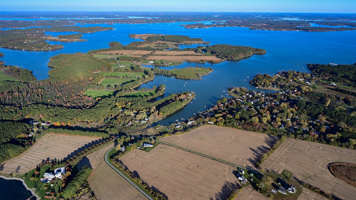
Day two of our adventure dawns with a crystal blue sky that draws us north. Out of St. Mary’s, the trick is to keep the nose between the nuclear plant and the natural gas transfer facility. We’re soon skimming over Calvert Cliffs, a favorite among local beachcombers for prehistoric shark teeth and other fossils. Now only a short eight miles wide, the Bay’s character has changed to a fuzzy mixture of shore and marsh as countless tributaries empty and make their way to the Atlantic Ocean.
We stay low, below the long fingers of the greater Washington/Baltimore Class B, and outside the pesky Special Flight Rules Area. Boat traffic is low given the season, and most are commercial fishing vessels, the fruits of which we hope to soon enjoy. Flying past Easton and the St. Michaels area it’s easy to see the area’s wealth on full display. This is Washington, D.C.’s version of the Hamptons, and the size of the houses are impressive, even from 1,000 feet away. One sits on a private point with perfect water views and features a pool house bigger than most middle-class homes, a full-size tennis court, a basketball court, and a guest house.
On the water
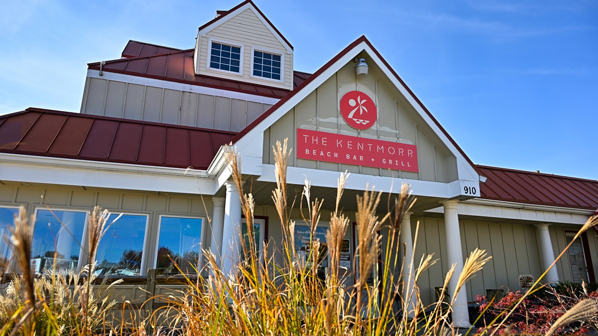
The William Preston Lane Jr. Memorial Bridge—the “Bay Bridge” to locals—soon comes into focus, making it easy to pick out Kent Island. The world’s largest overwater steel structure when it was built, Marylanders have a love/hate relationship with the bridge. It provides a convenient route to the Maryland and Delaware beaches but is a notorious traffic headache. Today it helps us easily locate the Kentmorr Airpark (3W3), our first stop of the day. This privately owned, public-use grass strip sits directly on the water and features hangar homes on the south side. Free of obstructions and 2,400 feet long, it’s an easy first grass runway for the uninitiated, and better yet, a great lunch stop.
We shut down and make the five-minute walk to the Kentmorr Beach Bar and Grill. Beach towns in the Northeast and Mid-Atlantic can have an eerie and run-down vibe in the offseason, and walking into the restaurant we are a bit worried. There are two people at the bar who appeared to be employees, and a server. The place, while huge, is basically deserted.
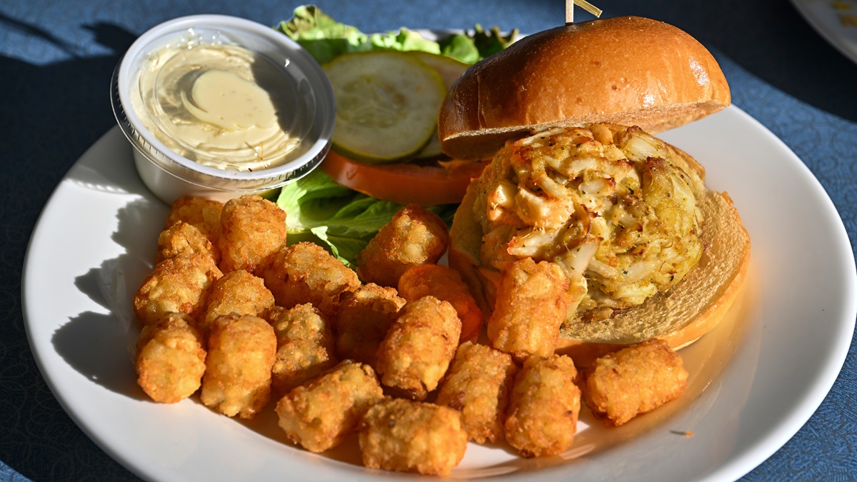
Once again, our concerns are unwarranted. We order a crab cake sandwich, a fillet of rockfish, and a seafood pizza. When in Rome, and all that. When the food comes there is silence, punctuated by ummmm….whoa….mhmmm….In addition to a beautiful airport, incredible views flying along the shore and islands, and a warm, fall day on the waterfront, the food alone would make Kentmorr worth the trip.
Back at the airport, Tulis seeks out the airport’s stamp to make sure his passport reflects this new entry in his logbook. We find it tucked into a mailbox on a shed. Even unattended, the airport fully welcomes us. A sign suggests we take off to the east for noise considerations, over the water and directly toward the SFRA boundary, even if there was a slight tailwind. Weighed down by lunch and camera gear, and facing a 10-knot tailwind, the decision to ignore the sign is easy. Soon we resume our position along the east coast of the Bay and watch Annapolis and Baltimore slide by on the opposite coast. The frequent rivers and cities make navigating the area exceptionally easy and enjoyable. Beaches now completely gone, the Bay turns into more of a wide river. To reach Harford County Airport (0W3), a few miles inland off the western shore, we first stay east to avoid the restricted areas around the Aberdeen Proving Grounds. Again, the test ranges are over the water, so nature’s boundaries made the job easy. We turn west for the final landing of our journey.
The end…or the beginning
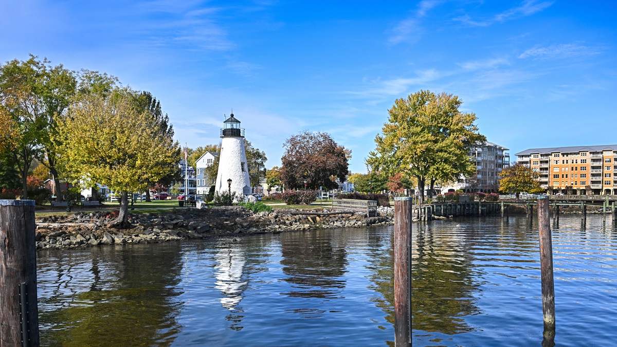
At the FBO we mention our plan to see historic downtown Havre de Grace and admire the end of the Bay. They laugh because of course, to them this is the beginning. We ask the Uber driver to drop us near some water and it’s as if he has scripted this stop himself. He takes us to Concord Point Park, near the Havre de Grace Maritime Museum, and site of the Concord Point Lighthouse. We dodge a harmless panhandler and promises of salvation to step onto the pier and take in, this, the top of the Bay. Here the Susquehanna River widens, and together with the North East River and Elk Rivers to the south and east, make up the headwaters of one of the country’s most important ecosystems.
We’re looking at the confluence John Smith saw and mapped in 1608, and where, more than 200 years ago durireat food, seating right off the ramp, and a warm and sunny fall day. It’s hard to imagine a better refueling spot than Charly’s Airport Restaurant at the Williamsburg-Jamestown Airport.ng the War of 1812, a few townspeople fought off the British as they came ashore and sacked the town. Today our ship is the aerial variety, but seeing much of this area for the first time as Smith did, the discovery is no less satisfying.

Related Articles


