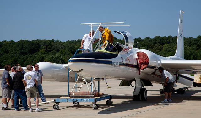
NASA’s ER-2 aircraft, a variation of the U-2 spy plane, will test satellite instruments at altitudes above 60,000 feet. NASA photo.
Better imaging from orbit is the ultimate goal for a pair of new laser systems that are taking flight from Wallops Island, Va.
NASA has relocated one of its two ER-2 high-altitude aircraft—a variant of the venerable U-2 spy plane—from California to Wallops Flight Facility for a test program that will help engineers fine tune a pair of laser-based systems. The Cloud-Aerosol Transport System (CATS) and the Multiple Altimeter Beam Experimental Lidar (MABEL) are being developed for deployment on satellites and the International Space Station, and will probe clouds, aerosol vapor plumes, sea ice, and vegetation. The ER-2 flights will include a survey of East Coast vegetation, if a little early in the season for more traditional leaf-peeping. The high flying aircraft will operate above 60,000 feet, in the same realm—if not the same airspace—as a pair of Global Hawk unmanned aircraft systems that NASA has deployed to track hurricanes in the Atlantic.
The CATS system promises better understanding of clouds and aerosols, including dust and pollution. Current systems can track the particles, but lack the capacity to determine what the clouds are made of. MABEL, previously used to survey land and sea ice around Iceland, will take a close look at vegetation on this mission, able to measure both the tops of tree canopies and the ground level, a survey that will extend from Maine to Florida.


