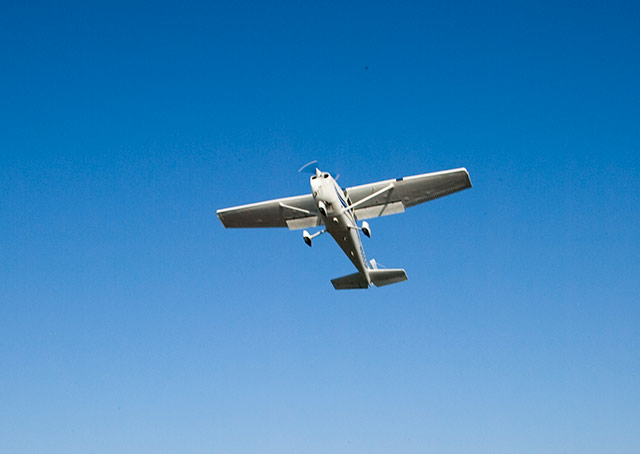
A student pilot is flying out to the practice area on a dead-calm morning, savoring smooth conditions under a high overcast that has covered the sky ahead of an incoming warm front.
Tomorrow, the forecast conditions of low ceilings, reduced visibility, and precip will prohibit VFR flying, so there was added impetus to fly today. The goal of the local solo will be to practice the coordination exercise with which the flight instructor recommends beginning every lesson, then work on steep turns, slow flight, a stall recovery or two, and back to the pattern for some landings and takeoffs. (Flying ground-reference maneuvers out here might be a feel-good thing to do, but would not be a particularly useful exercise in the no-wind conditions at low altitude.)
The coordination exercise is a great warm-up that doesn’t require much time, so you can do it during the short cruise to the practice area. But as the student pilot climbs to the higher altitude the CFI insists upon for air work, the trainee is caught off guard by a strong jolt of turbulence.
Another aircraft’s wake? Unlikely. No aircraft have been observed, and with the flight receiving radar traffic advisories, any conflicting traffic would have been pointed out.
Winds aloft at this altitude were forecast to be about 30 knots; possibly the turbulence, which is continuing, indicates that the aircraft has entered a shear zone between the strong winds aloft and the light surface wind. There also is a temperature inversion as the warm air from the advancing front overrides colder, denser air.
The turbulence encounter would be worth quantifying and sharing with other pilots, as a morsel of real-time weather information to be included in a pilot report. If you are in communication with an ATC facility for radar flight following, make your report directly to the controller. Provide the information in the order set forth in Figure 12-10 of the Aeronautical Information Manual.
Also, if the winds aloft are stronger than forecast for the warm front’s approach, the wary pilot will be alert for any earlier-than-forecast precipitation. And because that precip would fall from warm air aloft into colder air below, temperatures below freezing near the ground could raise the possibility of encountering freezing drizzle or freezing rain—a flight hazard that calls for returning to the airport at the first sign of the freezing precip’s appearance.

Related Articles


