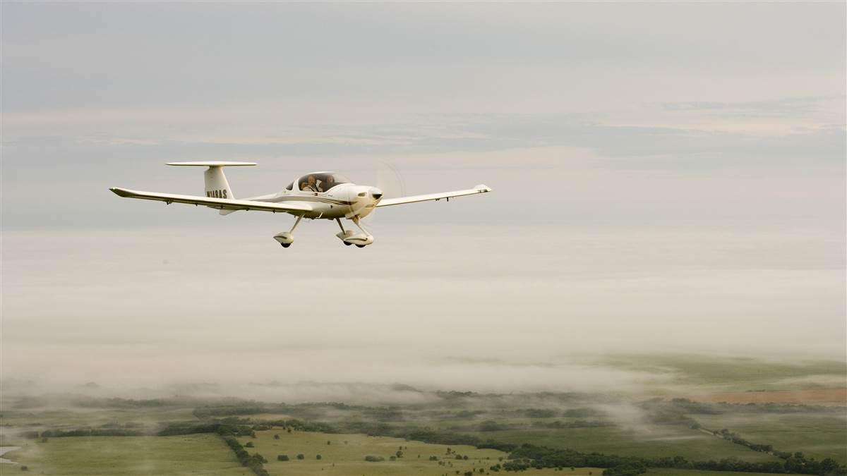
Weather: Socked in
Understanding the ‘fog peril’

Doolittle used a sensitive altimeter, gyroscopic instruments, and radio navigation—the basics of today’s instrument flying, which pilots routinely use to safely fly though weather conditions that keep them from seeing much outside their aircraft.
However, the latter part of the headline—“Fog Peril Overcome”—was wrong in 1929 and is still wrong for most pilots, especially general aviation pilots.
Until late in the twentieth century, pilots had no safe way to land with zero or near-zero ceiling and visibility like fog often causes. Today, qualified pilots routinely, legally, and safely land in near-zero visibility often caused by thick fog, using the aircraft and ground equipment required to land at airports approved for Category IIIc instrument landings.
Nevertheless, for most general aviation pilots, the fog peril has not been overcome, which makes learning at least a little about fog a good idea.
Some foggy terms
The amount of water vapor the air can hold before the vapor begins condensing into water drops depends on the air’s temperature. The colder the air, the less water vapor it can hold. The dew point temperature for a time and place is the temperature at which the water vapor in the air will begin condensing.
When the air chills to the dew point temperature, water begins condensing onto objects near the ground, such as grass, to create the tiny water drops called dew—thus the term dew point. Meteorologists say that air is saturated when it reaches the dew point temperature.
When air becomes saturated above the ground, water vapor condenses onto tiny particles such as dust, called condensation nuclei. High above the ground, these drops create clouds. At ground level, these drops are called fog.
The different kinds of fog. It’s a clear fall night with calm winds and a perfectly clear sky—a great night for a flight, either to log the hours of night flying you need for your private pilot certificate or to use your new certificate to show a friend what your hometown looks like from the air at night. The air temperature is 56 degrees Fahrenheit and the dew point is 54 degrees.
When the sky is clear, the ground cools off quickly as heat radiates away. On such a night, temperatures could quickly fall 2 degrees; you might return to find fog hiding the runway.
This type of relatively shallow fog that forms on clear nights is called radiation fog, and also ground fog because it forms when heat radiates away from Earth at night—and because it forms a relatively thin layer on the ground. It forms when the air cools to the dew point.
Another kind of fog that forms when the air cools to the dew point is advection fog. Advection fog forms when humid air moves over cold ground, especially snow-covered ground or cold water, and is cooled to the dew point. Advection fog can be the worst kind for pilots, or even people traveling by highway, because it can cover large areas and persist for a few days.
Advection fog can cover wide areas of the country, such as several Midwestern states in the wake of a snowstorm. As the storm moves away, winds could shift to blow from the south to bring in humid, Gulf of Mexico air that would create fog as it blows across snow-covered ground.
In a similar way, humid air that flows over the cool water of the Pacific Ocean brings fog and low clouds to the West Coast states to create poor visibility near the coast, while places a few miles inland remain clear. Since air cools as it rises, humid air becomes foggy as it flows uphill in places such as the Piedmont east of the Appalachian Mountains in the East, and across the Great Plains in the West.
Fog also forms when enough humidity is added to the air to increase the dew point to the temperature. Evaporation from falling rain or drizzle can do this, forming precipitation fog.
Track the dew point. Imagine returning to an airport covered by a 300-foot-deep fog layer. You look down to see the runway lights clearly with a little mist around them. Things still look good when you enter the pattern, but as you turn onto final and descend, the approach and runway lights dim until you see nothing but white fog in the glare of your landing light.
What happened? When you looked straight down from high above the airport, you were looking through only about 300 feet of fog.
On final as you reached the top of the fog—assuming a normal 3-degree glideslope on your approach path—approximately 5,700 feet of fog was between you and the runway, with millions of tiny water drops blocking the view.
The take-home lesson: Check weather reports and forecasts before departing on even a local flight. Fog doesn’t follow simple rules. You should be ready for fog when the temperature and dew point are close together, the air is cooling off—or having more water vapor added, such as from evaporating drizzle—and the winds are calm or nearly calm.
This is the reason for the general rule pilots often hear: If the temperature and dew point are within 5 degrees Fahrenheit of each other, and it’s getting colder—such as it usually does overnight into the early morning—watch out for fog. Save the flight for another night.
If your airport is in a valley, you should look for a greater temperature-dew-point spread. Valley airports can fog in quicker because cold air flows downhill across the airport. With many airports today offering automated, continuous weather reports, on local flights you should keep a radio tuned to the AWOS or ASOS. If the temperature is closing in on the dew point, it is time to return and land.


