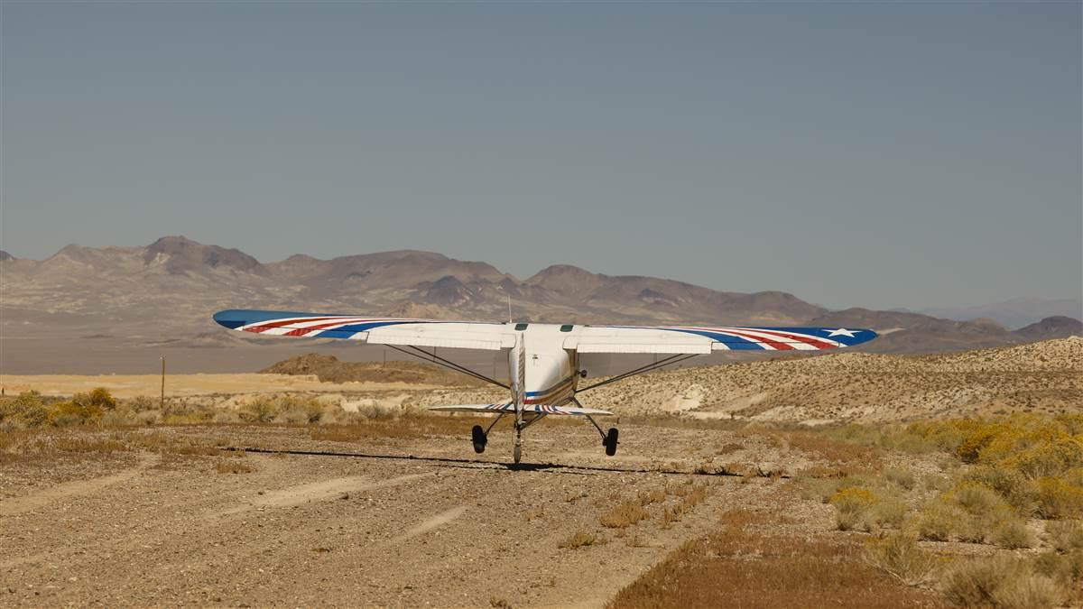
Diabolical density altitude
High, hot, and humid can be a terrible combo

Why could this pose problems?
Density altitude is not just another weather indicator, it’s a measure of the density or “thickness” of the air, expressed as an altitude. According to the FAA’s Pilot’s Handbook of Aeronautical Knowledge, it’s “the vertical distance above sea level in the standard atmosphere at which a given density is to be found.”
The Pilot’s Handbook of Aeronautical Knowledge goes on to say, “The density of air has significant effects on the aircraft’s performance.” Air density, like air pressure, decreases with altitude, and changes again when you add temperature and humidity into the mix. As we climb and the air becomes thinner, engine performance degrades, propeller efficiency diminishes, and capacity for lift is compromised.
An airport’s altitude above mean sea level is the first factor pilots need to consider when calculating the field’s density altitude and making a go or no-go decision. On a hotter day, the air is even less dense, and our aircraft engine needs to work harder to build up the power to generate lift. The right (or wrong!) combination of elevation, heat, and humidity can turn a pleasant summer outing into a nail-biting experience.
The “Performance” section of your aircraft’s pilot’s operating handbook (POH) outlines its operations at various altitudes and temperatures. If you take even a cursory glance at the “Short Field Takeoff Distance” chart, you will notice the numbers increase rapidly from top left to bottom right. The higher you go, the longer your takeoff roll. That is problem number one.
The next chart in that section of the POH, depicting maximum rate of climb, also shows an unnerving trend as the elevation increases. The higher and hotter, the longer your piston aircraft needs to gain altitude. The engine has to work so much harder—up to 30 percent more, in some cases—to achieve the same power. And if you’re flying in the mountains, you will also have to deal with rising terrain that you may struggle to clear.
Let’s talk about propeller and wing efficiency, too. Both rely on more dense air to generate thrust and lift. When the air gets thin, so too do their operations.
My own aha moment came on a hot July morning in California’s Sierra Nevada. I had just landed at Truckee-Tahoe Airport (TRK) from the San Francisco Bay Area and suddenly I was confronted with trying to figure out if I could even depart again.
Truckee airport sits at an elevation of 5,904 feet msl, but on warm summer days its density altitude (which is, in essence, the altitude the aircraft thinks it’s at) can exceed 9,000 feet msl.
On this summer day Truckee’s density altitude was already well more than 8,000 feet msl. The airport’s longest runway, 29, at 7,000 feet, seemed adequate for my humble, nonturbocharged (albeit lightly loaded) Cessna 172 Skyhawk.
The bigger problem came after liftoff, as the mountain peaks rose rapidly around me. Even flying over Donner Pass, just 7 nautical miles to the west, required a climb of more than 1,500 feet. The best climb performance I could get out of the airplane was about 175 feet per minute.
That is when theory became real for this flatland pilot.
The solution? I flew a climbing spiral over the field until we had the altitude to clear the pass (with a healthy safety margin), and head back down toward the Central Valley.
If you’re thinking about flying to the mountains this summer, there are a few rules to follow to make sure that you’ve accounted for the subtle and sneaky hazards of high density altitude.
First and foremost: Figure out what it is! Use a density altitude chart or calculator to learn exactly what conditions you can expect. And then, of course, know exactly how your aircraft performs under those conditions. Calculate landing and takeoff distances over a 50-foot obstacle and then add a safety buffer. The AOPA Air Safety Institute recommends adding 50 percent to start, and that can change as you gain experience and confidence in your aircraft and your own skills. Find out your aircraft’s climbing abilities and be sure to lean your mixture for best power.
Also consider travelling below maximum gross weight—offloading passengers, cargo, or fuel—and flying during the cooler early morning hours. But even then, don’t underestimate the potential of a density altitude far higher than you may have expected.
Finally, understand the terrain you’re flying in, and the risks that terrain poses, including up- or downdrafts coming off nearby mountain ridges.
The majesty of the mountains is irresistible. Flying over them brings an added sense of adventure. Be sure to know when it’s too high, hot, and humid to go.


