Sponsored by SiriusXM Aviation
Weather Wise: Air Masses and Fronts
GO BEYOND THE TEXTBOOK WITH THIS SAFETY SPOTLIGHT
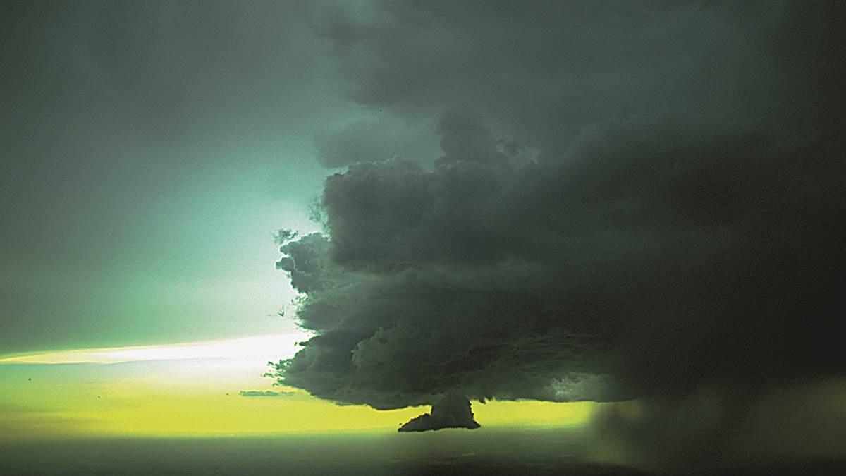 Are you planning a quick local flight or a weeklong cross-country adventure? Understanding the large-scale forces that create weather makes it easier to come to the right decisions about flying in weather. For example, hazardous weather associated with fronts can include thunderstorms, icing, low ceilings and visibilities, and wind and turbulence. It’s also good to remember that forecasts are not guarantees of what the weather will be, so compare them to actual conditions and pay attention to trends.
This safety spotlight lifts the curtain on air masses, fronts, regional weather, and high- and low-pressure systems.
You’ll review:
- How geography influences air masses
- Stable vs unstable air characteristics
- High and low pressure systems
- Isobars and pressure gradients
- Front types and characteristics
- Regional weather trends
- The value of PIREPs
- Cockpit weather tools
In this Section

SiriusXM Aviation
SiriusXM’s satellite-delivered weather is always available inflight with no altitude limitations or line-of-sight restrictions. It provides coast-to-coast, high-resolution radar and weather features not available with ADS-B – helping you know what weather lies ahead so you can fly with confidence. To receive a two month trial of SiriusXM Aviation Weather and Entertainment or learn more about other SiriusXM offers, please go to aopa.org/SiriusXM.